2023 Canadian wildfire smoke maps show where air quality is unhealthy now and forecasts for the near future
Smoke from the wildfires raging in Canada have affected parts of the U.S. and satellite images from NASA show the smoke has even traveled across the Atlantic to Europe. Here is the expected forecast for the smoke.
For several days, parts of the Midwest and Northeast have been seeing unhealthy levels of smoke, with Detroit, Chicago and New York City experiencing some of the worst air quality in the world, according to IQAir, which monitors the air quality index around the world. On Saturday, the air quality in the United States was better, with Washington, D.C., the highest-ranked American city on the index, coming in fourth on IQAir's global ranking, and some Midwestern cities falling off the list.
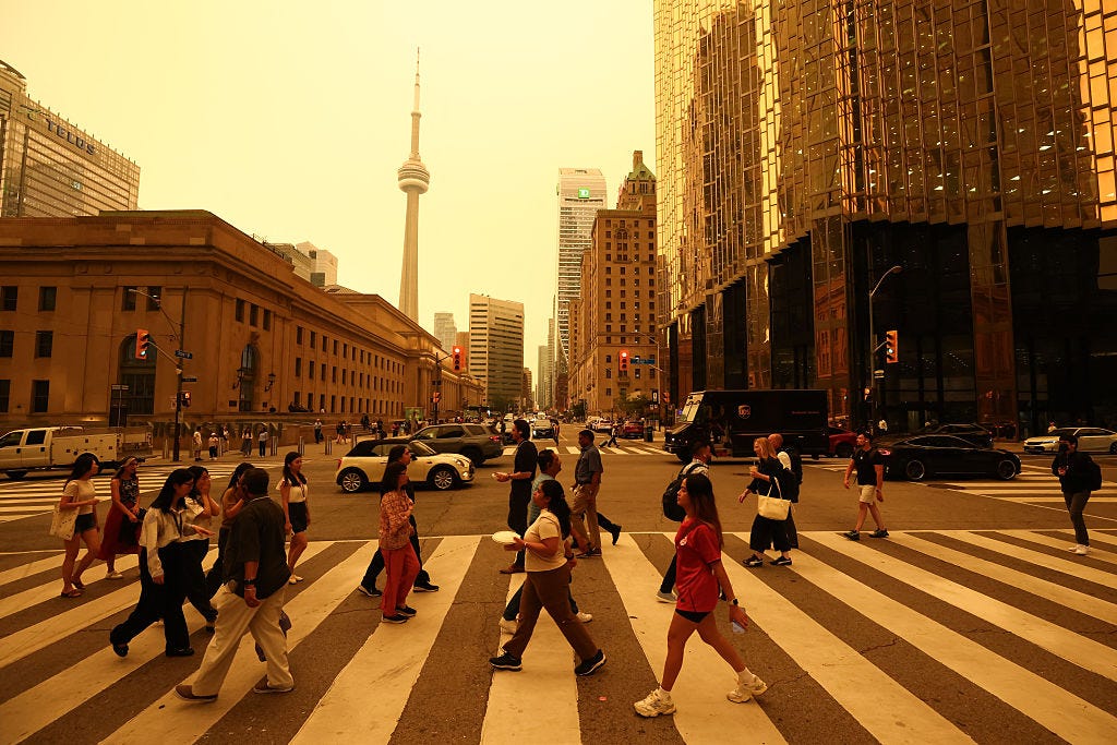
The city with the worst air quality in the world was Jakarta, Indonesia, IQAir reported, followed by Lahore, Pakistan. Toronto, Canada came in third on the list, a sign that the smoke from the fires is having less of an impact in North America this weekend.
The smoke is traveling along the jet stream, a pattern of wind that flows from west to east. In an email to CBS News Wednesday, meteorologist Jen Carfagno, co-host of The Weather Channel's "America's Morning Headquarters," and hurricane and storm specialist Greg Postel of The Weather Channel said the extreme and early start to fire season is related to the extremely above-average temperatures in Canada.
An interactive map of particle pollution levels from The Associated Press, based on NOAA, EPA and other data, showed a large area of red, indicating an "unhealthy" Air Quality Index, over northwestern New York and Toronto. There were also some red spots in the Midwest, while further north in Canada there were some purple, or "unhealthy," zones. Much of the country, including the East Coast and the Midwest, were marked yellow, for "moderate" air quality.
On Friday, the smoke appeared to move further east on the map.
"Poor air quality can be hazardous," the National Weather Service warns — especially for more sensitive groups including children, the elderly, those who are pregnant, and people with pre-existing respiratory and cardiovascular issues. Health officials in numerous cities encouraged people to limit time outdoors.
Earlier this week, New York City air was considered "unhealthy," according to AirNow, and Gov. Kathy Hochul issued air quality health advisories for western and central New York and eastern Lake Ontario. As of Saturday morning, conditions in New York City remained "unhealthy for sensitive groups," while air quality in the rest of the state ranged from "moderate" to "unhealthy," according to AirNow.
Pittsburgh's air quality was ranked as "very unhealthy" earlier in the week. Conditions have improved to "moderate" as of Saturday morning, according to AirNow.
The amount of smoke the U.S. receives depends on "the wind direction, the wind speeds, the density variations in the smoke from the source region, and the stability in the atmosphere," Carfagno and Postel said.
NASA said Monday the smoke from Canada had spread across the Atlantic to southwestern Europe. Images from NASA's Terra satellite show smoke over Portugal and Spain, but NASA said it has spread even further.
Smoke from wildfires has traveled in this way before. In 2017, NASA said smoke from West Coast wildfires traveled 3,000 miles to the East Coast.
In 2020, smoke from the massive brushfires in Australia circled the globe, passing South America and reaching back to Australia where they originated, according to NASA.