USGS: Terrain was moving two decades prior to RMNP's Chaos Canyon rock slide
Rising temperatures caused the southern side of Hallett Peak to begin moving about 20 years before it collapsed in full view of hikers and climbers in 2022, a U.S. Geological Survey report recently concluded.
The dramatic recordings of the rockslide provided USGS researchers with uncommon visual references that assisted their studies.
More than two millions cubic meters of material sluffed off Hallett on June 28 that year, forcing a rock climbing trio that recorded the entire event to bolt for safety.
The area in Rocky Mountain National Park known as Chaos Canyon was closed to the public more than a year and a half after the slide. It re-opened last month.
VIDEO Rock slide closes Chaos Canyon area in Rocky Mountain National Park (2022)
"It's a good name for this canyon," Kate Allstatdt quipped in a video presentation of the report. Allstadt is a researcher geophysicist in the USGS's landslide and earthquake harzards programs.

Allstadt spoke in reference to the makeup of the slide which included permafrost (permanently frozen ground resembling tundra), boulders and blocks of dirt and ice, but very little bedrock. But she also noted large boulders near the valley floor - the remnants of a rocky glacier, as she called it - which prevented the rockslide from running farther downhill.
"This is a pretty unusual event for Colorado and in general," Allstadt stated. "We were not able to find many, if any, historical landslides like it."
Some earlier slides in Greenland and Iceland made the best comparisons, "but they were a lot more mobile," Allstadt said. "It's kind of an unusual, special event."
Instigated, Allstadt said, by a warmer climate. Movement was barely noticeable at the upper reaches of the mountainside in the early 2000s as average temperatures "started to regularly exceed freezing," Allstadt said. The ground at that location moved only about 10 meters before accelerating in 2018, "one of the warmest years on record."

"Our conclusions are that the likely trigger for this was permafrost degradation due to warming temperatures" which, accompanied by a higher influx of water from spring snowmelt, weakened the slope, Allstadt said. "You could see with your bare eye that this slope was moving" six years before the slide.
A snowfield above "the two towers," a pair of very large boulders which prominently protruded from the side of the steep canyon, was previously perennial, Allstadt said. It lasted through every summer despite directly facing the sun. That is, until it began to melt out every year as temperatures rose.

A year prior to the slide, the two towers had moved 15-20 meters downhill, as estimated by satellite imagery, Allstadt explained. Plus, fractures developed at the top of the snowfield and springs were emitting snowmelt among several points on the face of the slope.
"Definitely, a lot of water has been moving through this slope and/or coming out of this slope" at that time, Allstadt said.
In one satellite image taken one week before the slide, the smaller fractures above snowfield had coalesced into one big fracture. The two towers, Allstadt said, had by this time moved 53 meters horizontally since 2016.
"So this is substantial movement that is occurring." However, "Nobody was looking for it."
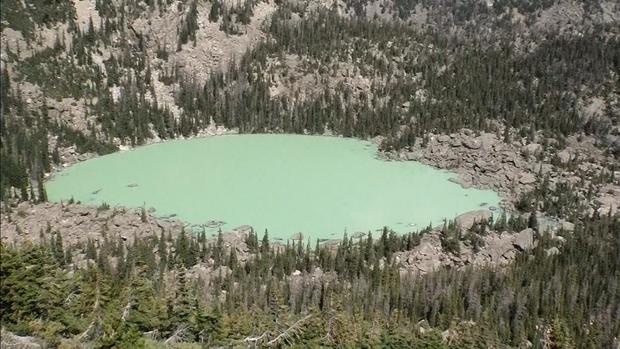
RELATED Lake Haiyaha has suddenly changed colors in Rocky Mountain National Park (2022)
By mid-afternoon the day of the slide, climbers below the slope "noticed when they got there that day that the slope was more active than usual."
One of those climbers, Jeremy Fullerton, recorded a video taken at 3:36pm, about an hour before the slide, Allstadt explained. That video showed rocks randomly rolling down the face of the slope.
"The landslide has already started," Allstadt said.
Five minutes, the mass gave way.
Another of the climbers, William Mondragon, recorded video at 4:31pm showing one of the towers collapsing and the entire slope moving.
Three minutes later, a cloud covers the slopes the intensity of the slide increases. Mondragon, Fullerton and the other climbers fled.
"They told me they just dropped everything and started running. They got enveloped in dust."
The towers moved at an estimated 12 mph, per Allstadt. The slide was at its deepest - 80 meters - just below them. They came to rest 206 meters from their starting point that day.
"We don't usually get this level of detail because there usually aren't eyewitnesses or good seismic records," Allstadt said.

Researchers were puzzled by seismic measurements during the event that showed a sudden spike in energy, a contrast to the rest of the slide's measurements.
"It's not impulsive, it builds up gradually, peaks in the middle, and then gradually tapers out," Allstadt said. The blast, by comparison, was definitely "impulsive."
RELATED USGS detects small earthquake-like signal before rock slide in Rocky Mountain National Park (2022)
Researchers eventually determined the shocks resulted from blasting being done at the Chimney Hollow Reservoir Project about 22 miles southeast of the slide.
Still, "This raises interesting questions of whether the blast was a 'red herring' or whether the very minor levels of shaking could have influenced the behavior of a marginally unstable landslide already in motion," she said.
The Alva B. Adams Tunnel, a pipeline that delivers water from Grand Lake to the eastern side of Rocky Mountain National Park, was not affected by the rock slide, Northern Colorado Water Conservancy District spokesman Jeff Stahl confirmed. The concrete-reinforced pipeline is approximately 2,000 feet below ground at its closest proximity to Chaos Canyon.
Hallett Peak, at 12,713 feet in elevation, lies on the Continental Divide.


