Nonprofit Develops Interactive Wildfire Risk Zone Mapping System
(CBS4) -- A first-of-its kind mapping system shows wildfire risk zones for neighborhoods.
The outlook is for the worse in the next 30 years. More areas on the mapping system turn orange, and the risk zone is expected to only grow.
The First Street Foundation developed the modelling after recognizing flood risk maps exist, but not fire risk zones.
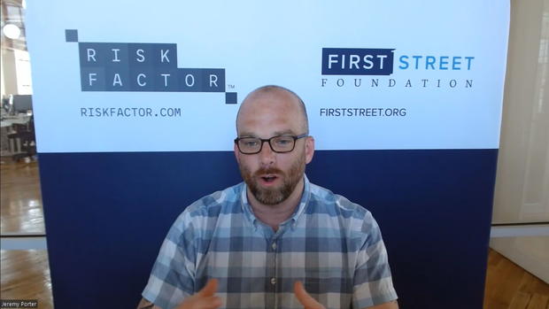
"Our hope is that by making this free and publicly available for every individual at their property, people can go on," said Jeremy Porter with the foundation.
"What we're able to do is tell you here is your risk today in a similar fashion," said Matthew Eby with the foundation. "But here's how it will change over time because you, the homeowner, are the only one who cares about this structure for a long period of time."
The study says the risk is nearly doubling over the life of a 30-year mortgage.
