Flash Flood Threat Elevated Over Burn Scars Sunday, Including In Glenwood Canyon
DENVER (CBS4) - A weather disturbance moving across Colorado will trigger showers and thunderstorms on Sunday, both in the mountains and potentially across some of our lower elevations as well. A few of the storms will move slowly and could produce locally heavy rainfall.
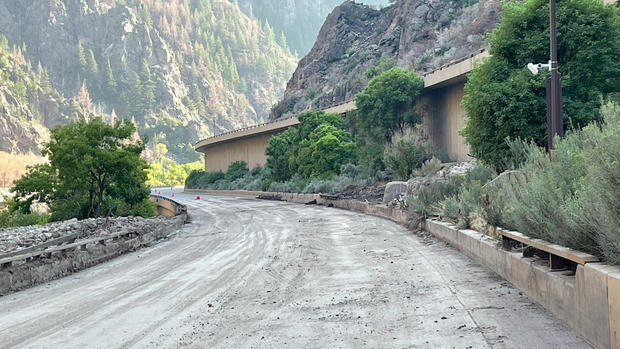
While the threat for flash flooding around the state is on the low side, it will definitely be elevated in and around our recent burn scars. We'll have to watch storms carefully if they form near Glenwood Springs. Heavy rain could cause new problems to develop along Interstate 70 in nearby Glenwood Canyon.
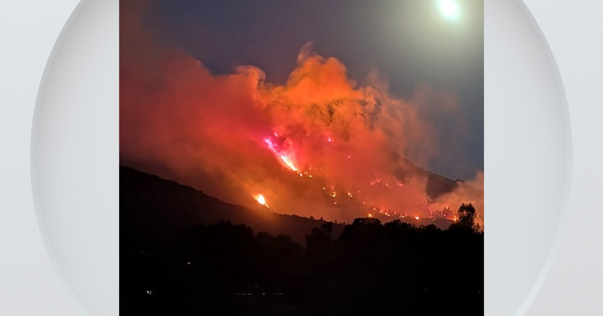
A thunderstorm on Saturday triggered a Flash Flood Warning inside the burn scar left from the Cameron Peak Fire in Larimer County. We did not hear about any problems due to the rain despite it being moderate to heavy for a brief time.
RELATED: Colorado Weather: Huge Plume Of Thick Wildfire Smoke Returns By Monday
Looking ahead the weather pattern will dry up considerably for Monday and Tuesday with only an isolated chance for afternoon showers and storms, and most of that activity will be over the mountains. Starting Monday, our weather headlines will be about hot temperatures and thick wildfire smoke for a large part of the state before a summer cold front moves in late Wednesday. That front will bring another round of showers and storms to the state along with some cooler temperatures.