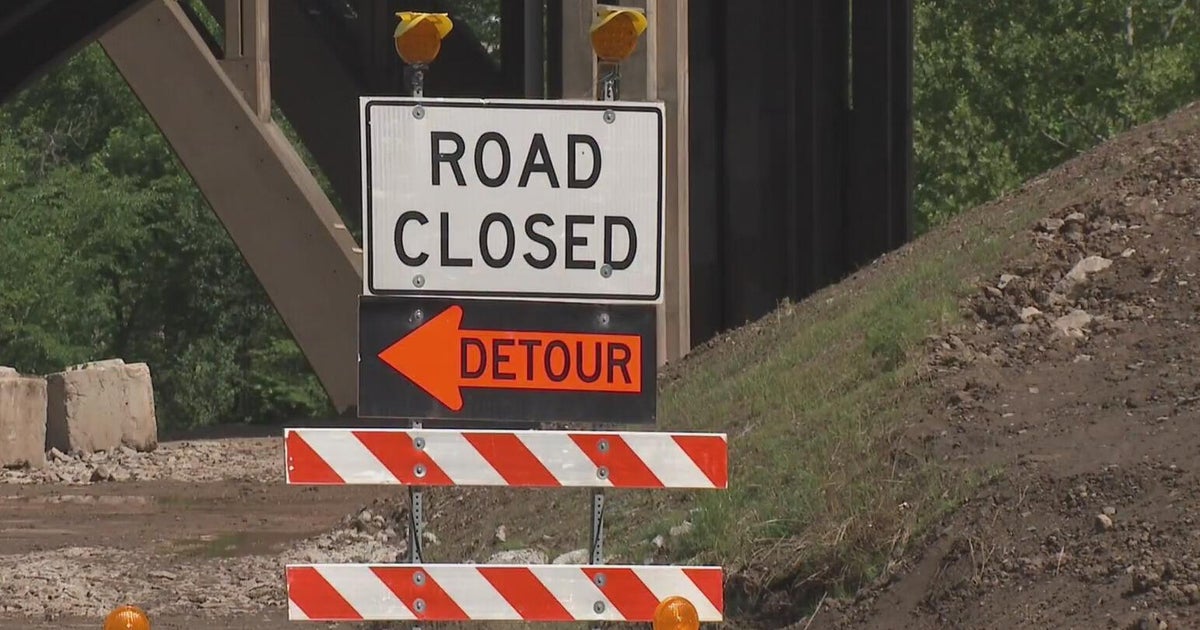
Disaster emergency declared for U.S. 50 bridge closure over Blue Mesa Reservoir on Colorado's Western Slope
Lt. Gov. Dianne Primavera has verbally declared a disaster emergency after the U.S. Highway 50 bridge over the Blue Mesa Reservoir was closed last week. The declaration will help support the response and recovery with a coordinated framework for the statewide response to reopen the bridge.

The declaration also initiated the process for requesting federal assistance which includes supplemental highway funding.
The Colorado Department of Transportation shut down the bridge last week due to concerns for bridge safety after cracking was noticed. The bridge closure is located between Gunnison and Montrose from U.S. 50 mile marker 131, the intersection with Colorado Highway 92, to mile marker 138. It is located east of the U.S. 50 Little Blue Creek Canyon project, which is currently in a planned winter shutdown.
Gunnison County Road 26 is serving as a shorter detour twice a day for essential travel only with a CDOT pilot car leading the way.

There was no time frame for when temporary or permanent fixes were expected for this bridge over the reservoir.
Drivers can learn more information about all major traffic conditions whether due to a crash, construction or forced closure on CDOT's interactive map.
CDOT recommended two detours for travel through I-70 to the north or US 160 to the south and these detours add six to eight hours of travel time. The agency is also coordinating with emergency service providers to ensure emergency response is unaffected.

CDOT Recommended Alternate Routes
This closure will create a significant detour for commuters between Montrose and Gunnison. The recommended detour route for through traffic is via Interstate 70 to the north or US 160 to the south. CDOT understands the inconvenience that this creates and is rapidly evaluating options to improve options for residents, businesses, and travelers on the western slope. The northern route is 354 miles and requires approximately 6 hours of travel time. The southern route is 331 miles and requires nearly 7 hours of travel time. CDOT and local partners are exploring whether it is feasible at this point in the season to clear local seasonal routes that may be able to significantly reduce the detour time for local travelers.
CDOT has already approved an emergency request allowing up to $10 million for repairs and remediation.