Colorado Weather: Breezy Start To Week Ahead Of Potential Snowstorm By Wednesday
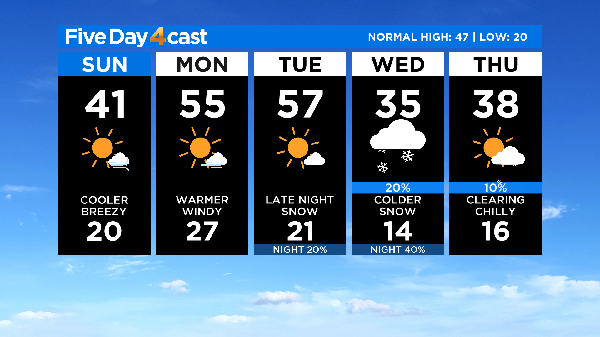
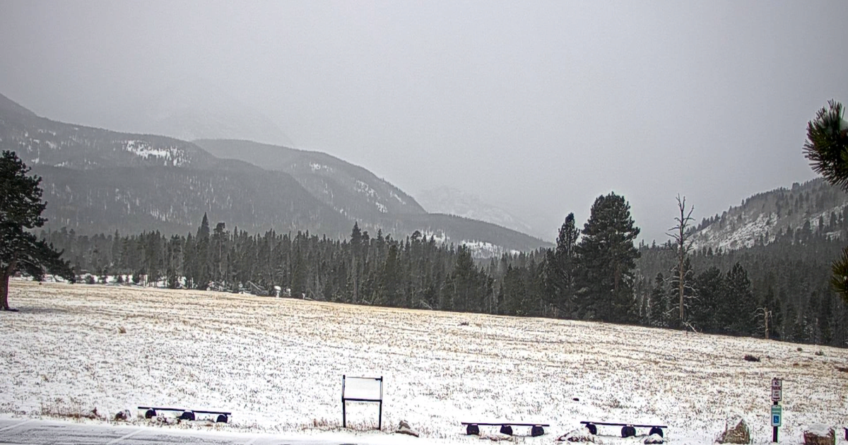
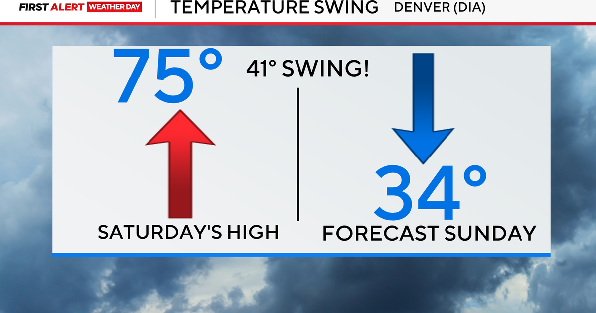
DENVER (CBS4) - It'll be partly to mostly sunny and dry around Colorado today with slightly cooler temperatures thanks to a cold front that moved through on Saturday. There could be a few light snow showers lingering around some of the higher peak in the mountains through this evening.
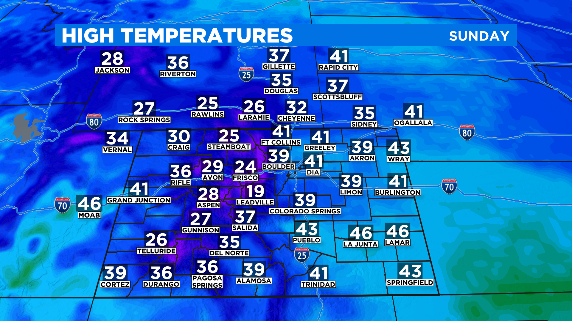
By this afternoon high temperatures will mostly be in the 20s in the mountains with 30s and lower 40s everywhere else. In immediate metro Denver we should see highs ranging from about 38 to 43 degrees in most areas.
It will be breezy at times today and over the next few days, especially in and near the mountains and foothills. We could see some wind gusts approach 40 to 50 mph at times along the eastern slopes of the Front Range.
That wind will help warm things up as we roll into Monday and Tuesday with afternoon highs potentially climbing well into the 50s in Denver and on the plains. It'll be cooler but still nice for this time of year in the mountains.
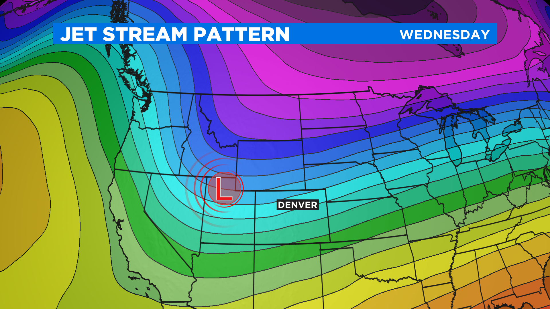
By Wednesday a new storm will drop in from the Pacific Northwest with much cooler temperatures and a chance to see snow. It's a little too early to talk specifics but this weather system does have the potential to bring an accumulating snowfall so it's something we will watch very closely over the next few days.