Colorado cooldown continues with a few late day t-storms
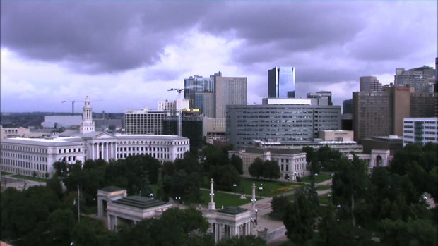
After a foggy, cloudy and cool start to our Saturday we should see midday sun break thru.
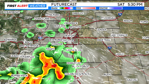
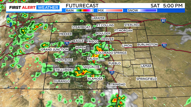
The eastern plains will go mostly sun by lunchtime that should be enough to warm temperatures and get afternoon thunderstorms built up. The best chance for late day storms for the Denver metro area will be on the west and south side of the region with a chance pushing on into the evening.
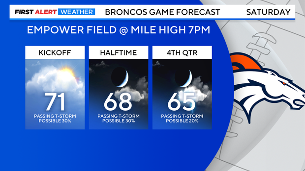
If you are going to the Bronco game you will see temps drop from near 70 to mid 60s with a slight chance for a passing thunderstorm.
Statewide the first of thunderstorms of the day will get going from I-70 south with a few heavy storms popping from South Park down to Canon City.
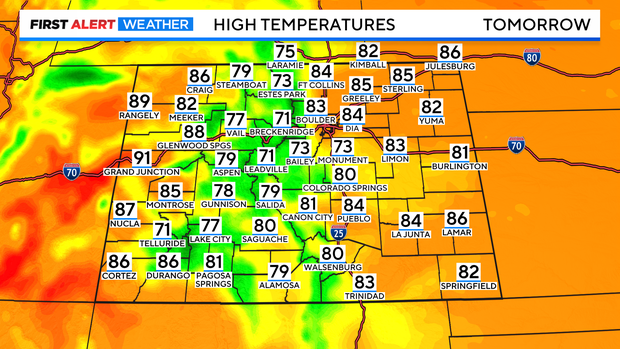
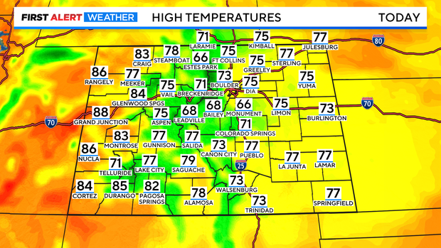
Highs across the state will be comfortably cool! Mostly 70s and 60s with a few 80s on the western slope.
Sunday will be a bit warmer to finish out the weekend with early sun for most spots and then afternoon thunderstorms. In fact, there is a better chance for storms along the Front Range and Denver metro area.