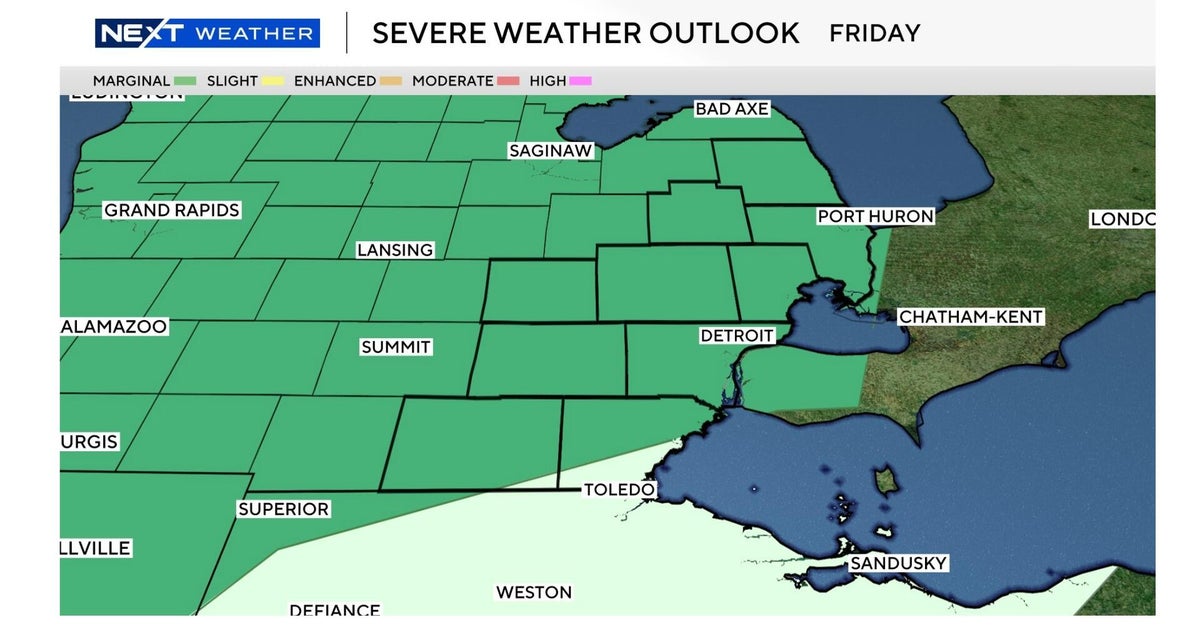
Chicago weather Friday includes possible severe thunderstorms, waves of rain


Two rounds of storms are hitting the Chicago area on Friday. Here's what you can expect.
A severe thunderstorm watch is in effect until 10 p.m. for Kankakee, Grundy, and Will counties in Illinois and Lake, Jasper, Newton, and Porter counties in Indiana, and until 11 p.m. for La Porte County, Indiana. A flood advisory also has been issued for Cook, Kankakee, and Will counties in Illinois and Lake County, Indiana, until 9 p.m.
Multiple ground stops have been issued at O'Hare International Airport throughout the day due to the storms, with the most recent ground stop in effect until 4:45 p.m. A ground delay will remain in effect through midnight.
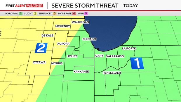
Following scattered showers and storms Friday morning and early afternoon, more strong storms are possible through the evening, with the potential for severe storms that might bring wind damage, large hail, and even an isolated tornado.
A cold front moves through overnight with another round of widespread rain and thunder. Morning showers clear Saturday with gusty winds and falling temperatures.
Some overnight storms could produce gusty winds.
According to the National Weather Service, the biggest storm threats will be heavy rain and wind gusts up to 50 miles per hour. The NWS said there is a chance for small hail and tornadoes.
Flight cancellations and delays reported at Chicago airports
Ground delays and ground stops have impacted hundreds of flights at O'Hare and Midway airports.
As of 5 p.m., O'Hare Airport reported 435 flight cancellations and over 1,400 flight delays. Midway Airport has reported 20 cancellations and over 260 flight delays.