Northwest Indiana Digging Out After Lake Effect Snow Storm
CHICAGO (CBS) -- A lake effect snow warning was lifted Wednesday morning in northwest Indiana, but the after-effects of the storm could be felt for days to come.
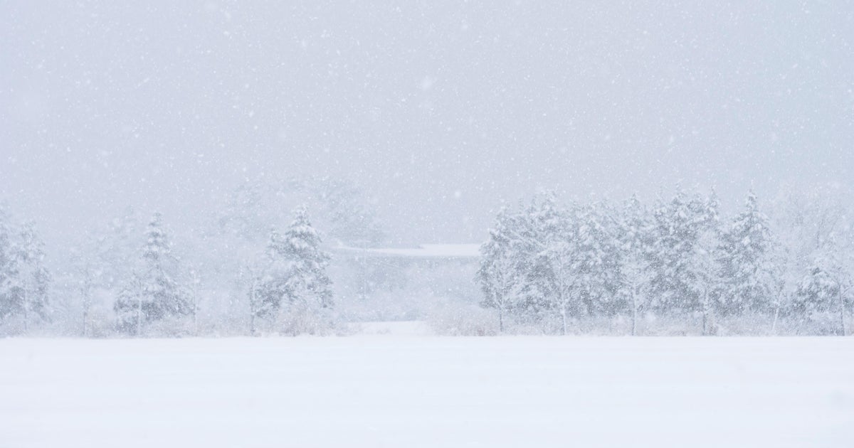
Bands of lake-effect snow lashed northwest Indiana for much of Tuesday afternoon and overnight.
"It was challenging," said Mike Kietzman, of Lake Station, Indiana.
Kietzman drove through the storm all night.
"It was bad. You almost couldn't see. It was very bad lake effect," he said.
In Porter County, one squall passed over Interstate 94 before dawn on Wednesday, reducing visibility and creating hazardous conditions. Drivers like Polly Costanza had to adjust.
"We turned a corner, and we couldn't see more than 10 feet in front of us," Costanza said.
Lake effect snow is generated when a cool air mass moves over the warmer waters of the lake, and picks up water vapors, which head upward until they fall back to earth in the form of snow. The bands of snow can move quickly, often in a very scattered pattern.
Eric Anderson, of Miller, Indiana, said it might be snowing on one block, and on the next, it's clear.
"That's the lake effect," he said.
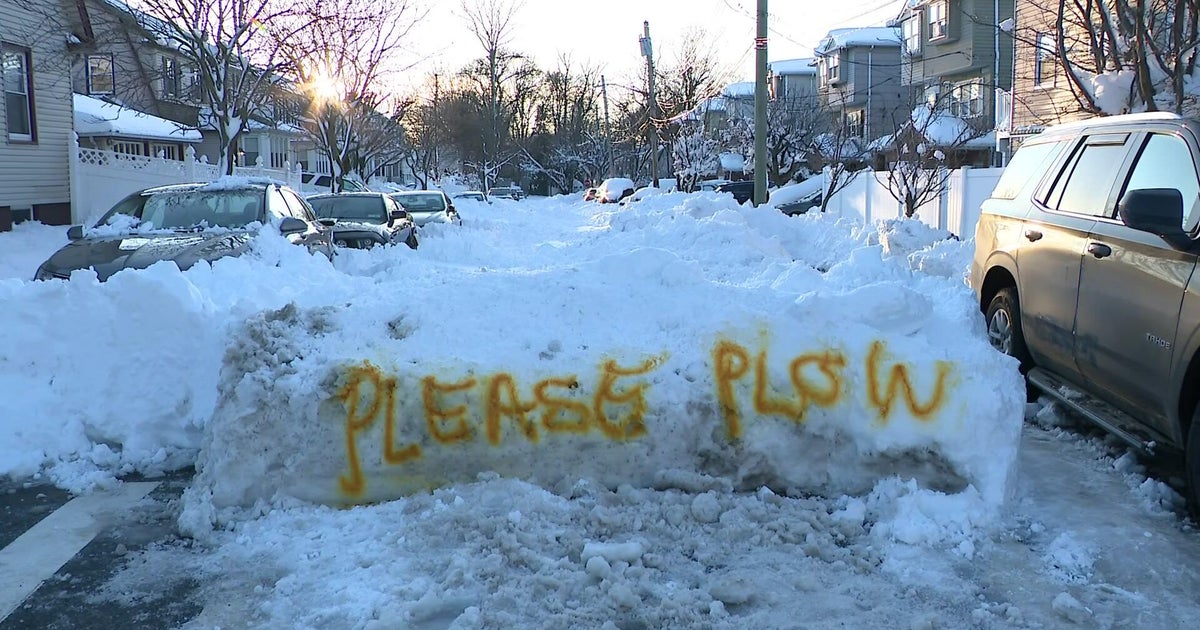
The first significant snow in more than 80 days in northwest Indiana was enough to keep plow drivers busy overnight, and to keep Costanza's sons home from school Wednesday morning.
"They are out of school because of the weather, yes," she said.
Although the lake effect snow warning has been lifted, blowing and drifting snow could still present a problem in some areas, forcing drivers to slow down.
