How weather works: What is a microburst?
CHICAGO (CBS) – What is a microburst?
Before we talk about exactly what a microburst is and how dangerous they can be, it's important to understand the three stages of a thunderstorm.
The first stage is the cumulus stage with rising air. You'll see this in the sky with the clouds "bubbling." There's no rain from these clouds as they start to get their act together.
Then you get into the mature stage of a shower or thunderstorm. You'll have winds going up, what we call "updrafts," and winds going down, called "downdrafts."
This is where you have the thunder, lightening and rain.
The final stage of a shower or thunderstorm is the dissipation stage. This is all downward motion in the atmosphere. You've got rain, but you can also get some really intense winds. Even though it's called the dissipating stage, this is where microbursts can happen.
Dry air can start to intrude the shower or thunderstorm. Then there's cooling taking place within the cloud and that allows for the cloud or the storm to collapse on itself.
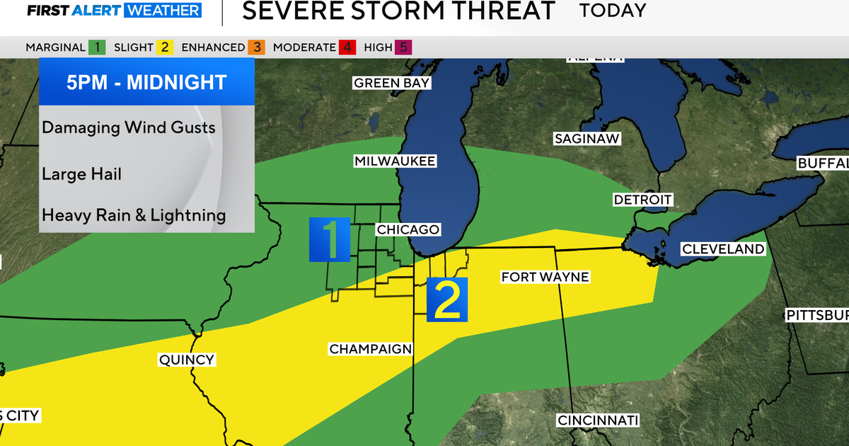
This could cause winds as high as 150 miles per hour. We're talking about EF-2-type tornado winds from these thunderstorms.
Microbursts are very hard to forecast. You can start to see some early indications on doppler radar when tracking some severe thunderstorms.
While we don't talk about microbursts a lot, they can cause just as much damage, if not more, than some low-end tornados.
If you have any weather questions, CBS 2 Chief Meteorologist Albert Ramon loves to answer them. Just tweet him @AlbertRamonTV.

