Some Chicago area hospitals at risk for significant flooding that could impact patient care, new models show
Hospitals across the country rely on federal flood hazard risk assessments to develop contingency plans and protect patients being cared for in the hospitals as well as people in the community who may need help during an emergency.
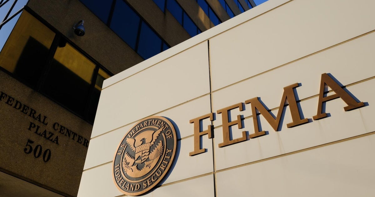
But many of those plans may be relying on outdated Federal Emergency Management Agency (FEMA) risk maps that have not been updated in several years.
A monthslong KFF Health News Investigation analyzed new flood risk data provided by Fathom, a company considered a leader in flood simulation. The analysis identified 171 hospitals in the United States facing the great risk of significant or dangerous flooding in a 100-year flood.
A few of those hospitals are located in the Chicago area, in Illinois and Indiana. Each one is predicted to face from one or two feet up to several feet of water in a 100-year flood.
"Places that didn't used to be in floodplains are now in floodplains. Facilities need to adapt. They need to make themselves more resilient so that patients are safe," said Sam Dorevitch who studies healthcare facility flood risk and emergency preparedness at the UIC School of Public Health.
CBS News Chicago First Alert Meteorologist David Yeomans agrees.
"Updating these maps frequently in our changing climate is more important than ever," Yeomans said.
Hospitals at Risk
The new Fathom modeling shows that the small Northwest Indiana ER and Hospital in Hammond, 20 miles southeast of Chicago, could be surrounded by floodwater.
It promotes itself online as a facility providing "concierge-level emergency care 24 hours a day, 7 days a week."
But, the KFF Health News analysis shows access to emergency care could be cut off by more than three feet of water across the facility with between five to ten feet of water against parts of the building.
Flooding, if it occurs, would be caused by the overflowing of the nearby Little Calumet River Levee Trail.
The FEMA Flood hazard map last updated for this area in 2012 shows a reduced flood risk due to the levee.
"If the roads leading up to the hospital flood, that means healthcare workers can't leave, and new healthcare worker shifts can't arrive," said Dorevitch.
In Kankakee, two hospitals face 100-year flood risks from the Kankakee River.
The KFF Health News/Fathom modeling shows a 100-year flood could leave between one and five feet of water along the entire east side of the 300-bed Riverside Medical Center when the river overspills its banks.
St. Mary's Hospital, in Kankakee and near the river, is also at risk.
The KFF Health News/Fathom modeling predicts significant flooding from a 100-year event. It shows three feet of water across the entire west side of the building and between five and 10 feet on the northwest corner. The Emergency Room of the hospital overlaps with this deepest flooding area, but it is also raised slightly. The modeling shows significant flooding of roads around the hospital which could limit access to the hospital and its ER.
"There are injuries due to flooding, so there are more and more people trying to get to hospitals. If it's not possible to get to the hospital because roads are flooded, that's a problem," said Dorevitch.
A hospital spokesperson said the facility has not experienced significant flooding since it was built nearly 130 years ago. But, the hospital does prepare for such an event and has access to plenty of sandbags as well as "ejector pumps installed in the facilities and powered by independent generation."
The KFF Health News/Fathom 100-year flood risk modeling also predicts significant flooding at Advocate Christ Hospital in south suburban Oak Lawn.
The hospital which regularly cares for several hundred patients a day, could see three to five feet of floodwater around much of the facility. The deepest flooding of five to 10 feet could pool around the lowest portion of the loading dock.
The FEMA flood hazard map for this area hasn't been updated since 2008.
It wasn't that long ago the area where the hospital now sits was less developed.
A 1938 Illinois aerial survey photograph shows a riverbed where the hospital now sits.
"We know that rivers can burst their banks in a big flood, but even away from a river water will pool where gravity takes it," said Dorevitch.
Paul Sambanis, Director of Emergency Management and Resiliency Planning Program at UIC School of Public Health, said hospitals away from rivers and other waterways should take note of the new modeling and prepare.
"How are we going to develop drainage and other ways to mitigate this. If it does occur, then how are we gonna prevent that water from coming in?"
The East Fork of Nettle Creek sits less than half a mile from Morris Hospital and Healthcare Centers in Morris, about 60 miles southwest of Chicago.
The KFF Health News/Fathom modeling shows more than three feet and sometimes more than five feet of flooding could reach the west side of the hospital if the Creek floods.
The hospital has seen flooding before. In April 2013, patients had to be evacuated when a storm dumped more than five inches of rain on the area over two days. Flood water reached the hospital's footprint that year.
UIC's Sambanis said, "What we're seeing now is more of these 100-year flooding events, more of these 500-year flooding events. And so, we're now seeing, like, okay, it's not a question of if these healthcare facilities will be inundated by flooding, it's a question of when, but what are they gonna do to protect themselves when that occurs?"
The 2013 flood was record-breaking when the Illinois River in Morris set a new flood crest mark which still stands today. After that flood, a hospital spokesperson said mitigation measures were put in place to protect the hospital against a 500-year flood and also noted the city made sewer and aqueduct improvements to reduce flood risk.
Emergency planning officials in Cook County, where Oak Lawn and Advocate Christ Hospital are, said the county has experienced five severe storms since 2023 that resulted in significant urban and suburban flooding.
The Department of Emergency Management and Regional Security led an update to the county's Hazard Mitigation plan in 2024. The coordination with 123 municipalities, including Chicago, helped identify risks such as flooding and ways to reduce the impact.
Yeomans agrees these once in a lifetime storms are occurring more often and closer together.
"A good illustration is on the South Side of Chicago. Just this past summer, we had five inches of rain in less than three hours. That was considered a 500-year storm," he said. "Then, less than three weeks later, just a couple miles away, we had 5.6 inches of rain in two hours. That's a 1,000-year flood."