"Cold air funnel" spotted over Nantucket
NANTUCKET - Kind of a "cool" occurrence happened Monday over the island of Nantucket.
There was a "cold air funnel"!
Certainly not something you would expect to see with temperatures in the 50s and a generally cloudy, raw day.
So what is it, and what causes it to happen?
A cold air funnel is a funnel cloud that develops under weak showers or thunderstorms, typically when there is a lot of cold air aloft (well above ground level).
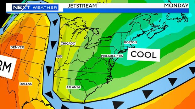
They are most common in spring and fall on unsettled weather days. The typical setup: Some sun pops out and warms the air at ground level causing it to rise quickly through the much colder air above. This causes showers to bubble up (like today) and, once in a while, you get a very small (thin) funnel to form underneath the base of the cloud.
Cold air funnels are almost always weak and harmless and very rarely actually become tornadoes and touch the ground. On the rare occasion that they do touch ground, they almost always are classified as the weakest (EF0) tornadoes.
Because they are so small and weak, they often go undetected on Doppler radar.


