Snow? First flakes of season possible next week so get ready for winter
By Terry Eliasen, WBZ-TV Meteorologist, Executive Weather Producer
BOSTON - WINTER IS COMING.
I hear you, I hear you, kind of a dramatic headline and rather obvious as well.
This, for me, is the saddest weekend of the entire year. It's time to put the patio furniture away for the winter. Typically, I bring it in when we turn the clocks back, but the weather has been so mild, I figured why not stretch it out a bit longer. Well, the time has come.
We are in for a BIG change. Saturday was the sixth 70-degree day in the first 12 days of November, that is nuts.
It was likely the end of our fall fling.
Winter is invading the country. That cold airmass cannot and will not be stopped. By Sunday, and certainly by early next week, just about the entire country will have descended into winter.
High temperatures for much of next week in southern New England will be stuck in the 40s.
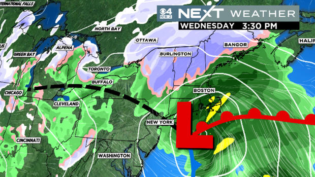
And then there's that midweek storm. Models have been hinting at a storm coming out of Texas early next week. This COULD drop the first significant swath of snow of the season from parts of Oklahoma and Nebraska through the upper Midwest and Great Lakes.
While the parent storm will likely head well to our west, there may be a redevelopment off the Mid-Atlantic states late Tuesday night and early on Wednesday. Let me be clear - it is WAY too early for any serious prediction of snow location, timing or amounts. BUT, there is a decent chance that parts of New England could see their first wet flakes of the season.
This time of year, it is really hard to get much snow in southern New England. The ocean is still very warm, the ground hasn't frozen yet and the sun angle is still relatively high. Typically, when you get a coastal storm in mid-November, your best chance of any snow accumulation is well north and west and in areas that are elevated.
If you want an early prediction for next Wednesday, that would be it - IF the storm happens and IF it takes a track near our coastline, then the best chance of seeing some snow would be in those areas.

The average first measurable snowfall in Worcester is about a week away on November 18th. So, by that measure, next week's potential storm could be "right on time." Closer to the coastline and in the city of Boston, the timing of the first measurable snow is typically a few weeks later. Last year, it took until December 8th in Boston and that was only 0.3 of an inch. Winter didn't really get going last year until that big snowstorm on January 7th (Boston had nearly a foot).
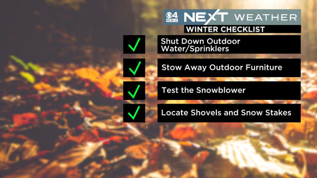
Regardless of what happens next week, this should be a good reminder to start thinking winter thoughts. I will leave you with MY checklist for the weekend: