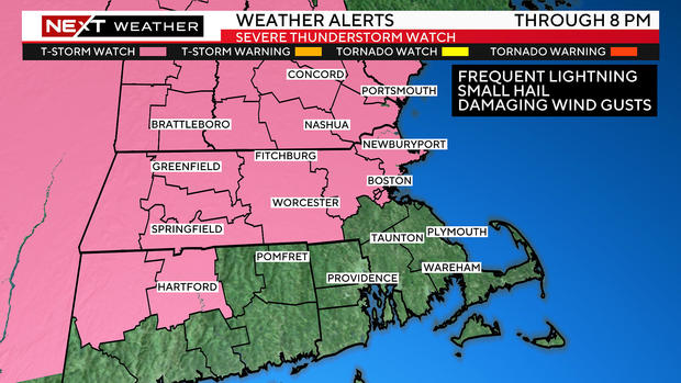
Severe thunderstorm watch across much of Massachusetts into Friday evening
By Terry Eliasen, WBZ-TV Meteorologist, Executive Weather Producer
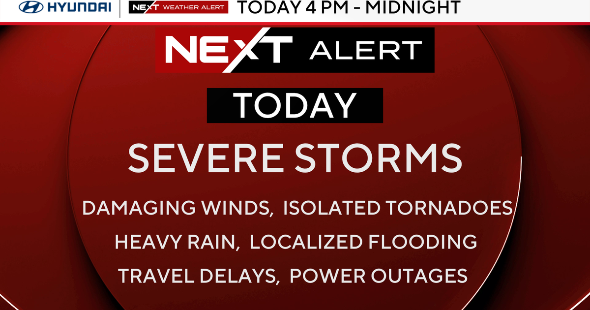
BOSTON - We are under a NEXT Weather Alert for the risk of some localized flooding and a few severe thunderstorms Friday afternoon and evening.
The National Weather Service has issued a severe thunderstorm watch until 8 p.m. for areas north of the Massachusetts Turnpike for the potential of frequent lightning, small hail and damaging wind gusts.
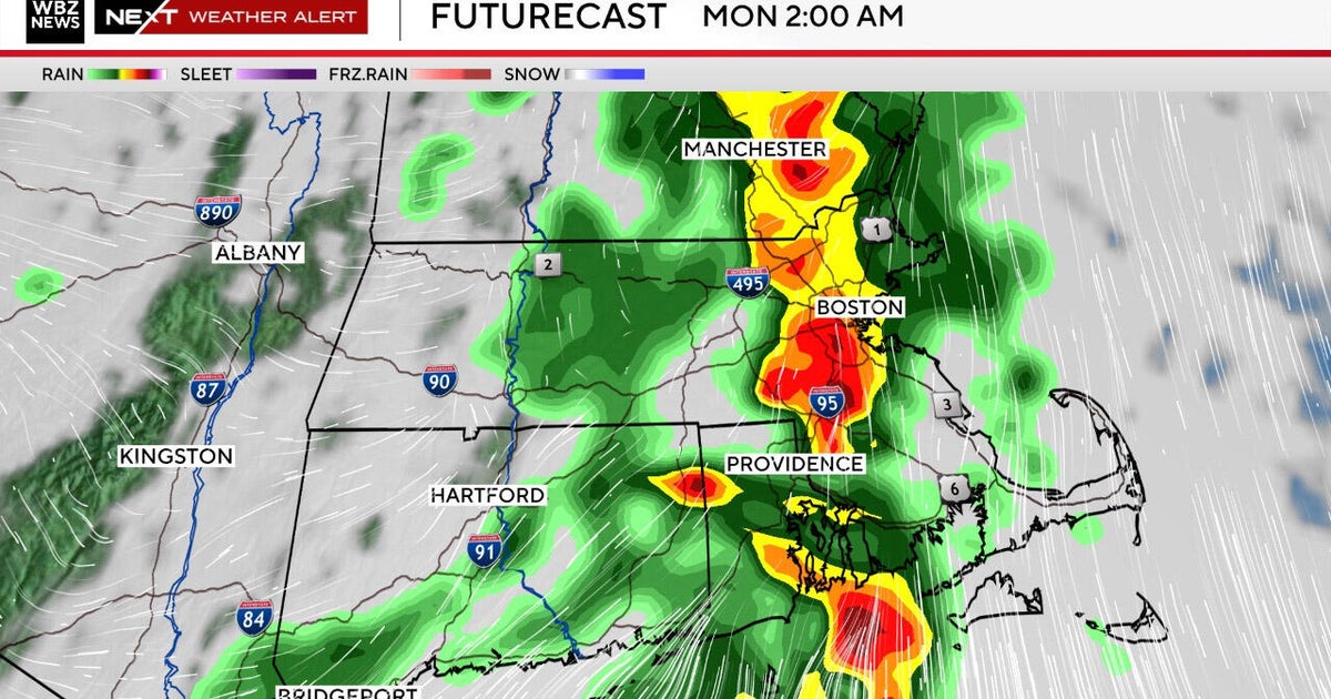
We expect there to be a broken line of downpours and thunderstorms northwest of Boston Friday afternoon. The time frame to watch will be between 4 and 10 p.m.
For southern New Hampshire, Worcester and Middlesex counties the focus is 4 to 7 p.m. and for the Boston area and points south it's 7 to 10 p.m.
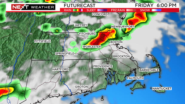
Our main concern with any storms that form Friday is for localized flooding. There could be 1-to-2 inches of rain in a short period of time in some areas.
There is also a smaller risk of some wind damage and hail within any thunderstorms that bubble up.
The storms will weaken after 10 p.m. Overnight, we expect just a few leftover showers, which should clear out of here by Saturday morning.
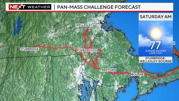
The weekend looks SPECTACULAR! Expect fairly low humidity, lots of sunshine and highs each day in the low 80s with some cooling coastal breezes at the beaches.
Conditions will also be ideal for those riding in the Pan-Mass Challenge.
Lastly, I hate to leave you with a sour note on a Friday, but this will be the last 8 p.m. sunset of the year. The days get shorter and sunset gets earlier and earlier from here on out. BOOOOOO!