A 2-Day Break, Then...
Variety was the name of the game yesterday...snow, sleet, freezing rain, rain.
We had it all! Check out this link for 2-day snowfall totals from the National Weather Service.
Today will be day #1 of a 2-day break before another coastal low makes it move towards Southern New England. Highs will range from the lower to upper 20s today. Temperatures will reach the lower 30s on Friday.
Watch Melissa's forecast
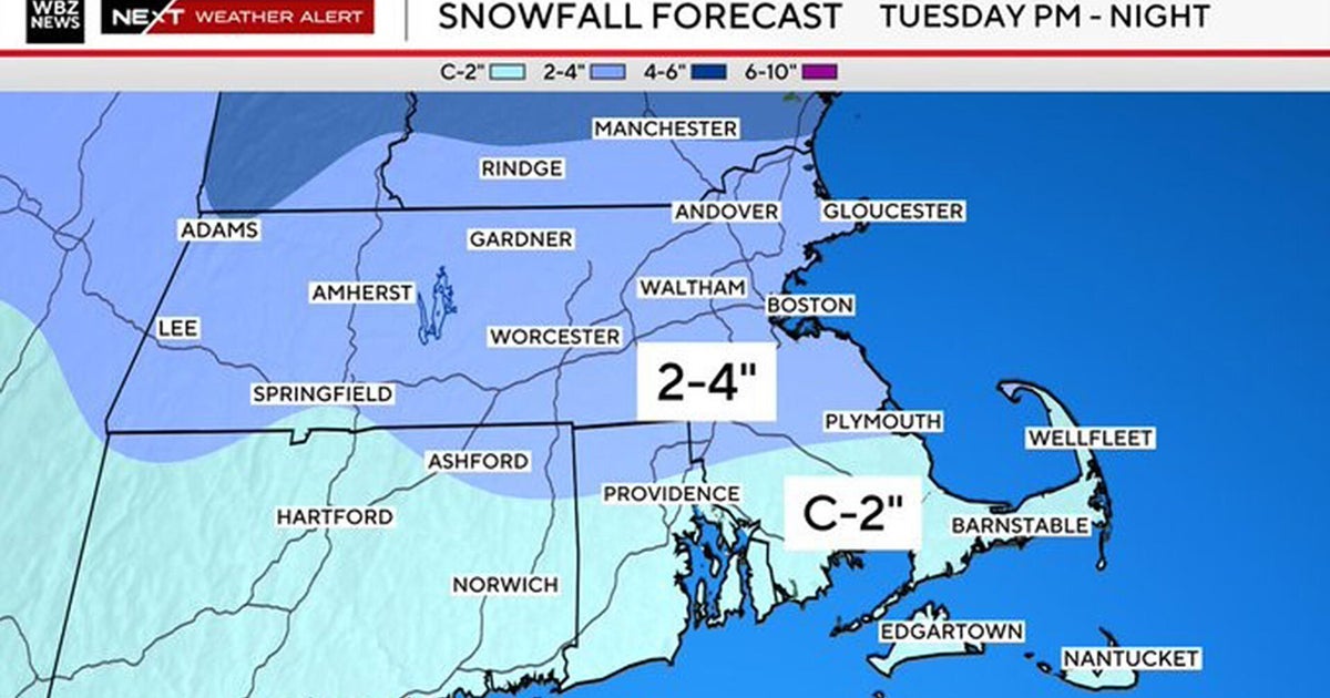
*Saturday Storm: This will prove to be challenging (like many NE winter storms) in terms of the placement of the rain/snow line. The low will form in the Gulf of Mexico and track northward along the Eastern Seaboard. The current track shows snow as the the initial precipitation of choice. However, it will switch to a wintry mix from areas along the North Shore/Boston/Worcester and southward. The Cape and Islands will receive rain during the afternoon. This will lessen amounts of snowfall. As of this morning, my snowfall amount 'guess-timates' are 6-9" for Worcester/Middlesex county...3-6" just south of the Pike including Norfolk County...1-3" northern Plymouth and Bristol counties...little to no accumulation for Cape/Islands.
We may be dealing with another rain/snow maker Monday & Tuesday of next week. Rapid-fire style continues...
Melissa :)


