Plan to create Atlanta Beltline-like trail by Georgia's Flint River moving forward

For decades, one of Georgia's greatest natural treasures has remained largely hidden in the shadow of the world's busiest airport. Now, the Atlanta Regional Commission (ARC) is moving forward with an ambitious vision to develop a 30-mile trail corridor along the Flint River.
The hope is to create a multi-use greenway network similar to the Atlanta Beltline, but designed specifically for South Metro Atlanta.
Planners say the corridor would weave through Hapeville, East Point, College Park, and down into Clayton County, providing safe pedestrian and bike access through areas long dominated by busy highways and airport infrastructure.
"We see this trail and this corridor around the river as a way for people to connect to the river and connect to business and economic development opportunities," said Josh Phillipson, the principal program specialist with the Atlanta Regional Commission's Transportation Planning Department.
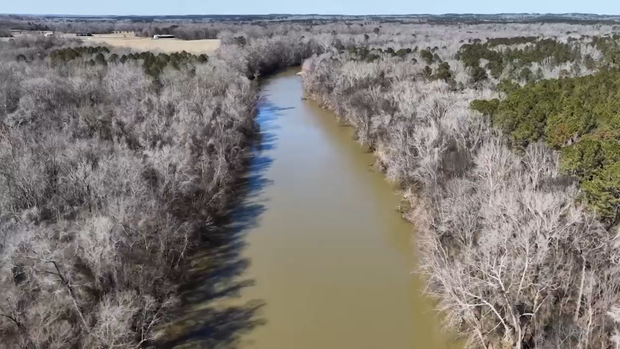
Officials envision the trail as both an ecological restoration effort and an economic engine. Proposed features along the 30-mile corridor include:
- Dining spots and outdoor patio spaces
- Event lawns and community gathering areas
- Public art installations and botanical gardens
- Plane-watching observation decks near runway corridors
- Direct water trail access for kayaking, paddle sports, and fishing
"We want to get people reoriented with the river and be able to use it as a transportation corridor, as a place to go and walk and recreate, get exercise, and as a way to connect to businesses that are near the river to maybe places to live," Phillipson said.
At a recent informational block party in downtown Hapeville, one of a series of community sessions planned along the river basin, residents gathered around planning maps, using color-coded thumbtacks and sticky notes to pinpoint the amenities they want most.
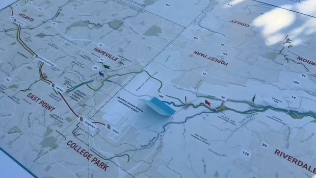
"My initial thoughts were, great," said Hapeville resident Traci Jones Moges, who noted that having recreation and cultural events close to home is a major draw. "It would be great to have waterfalls to have a place you can walk to and sit down and view a jazz concert, you know, ride your bike, and I won't have to worry about traffic, paying for parking."
For other neighbors, the direct connection to water sets the project apart from existing urban paths.
"I definitely use the trail to go biking. I've gotten pretty big into cycling just using it to get to the Beltline," said Hapeville resident Hunter Tracy. "I'm definitely a fan of this project. I bike and kayak, so this is kind of the best of both worlds. So we can get the trail so I can bike places and then open up the river for recreation on the kayak. That's the best of both worlds."
Phillipson emphasized that public input is crucial as teams map out routes and prioritize segments.
"We're in this early stage where we're doing the initial planning for this so that people have a chance to voice their opinions on where it should go, what it's connected to, what does it look like, what it feel like to be on a trail like this," he said.
ARC planners will continue hosting public engagement meetings in communities throughout the corridor to gather feedback and refine engineering plans. The commission aims to break ground on Phase One of the trail in 2028.


