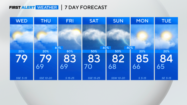
Cloudy Wednesday, warm afternoon for North Texas
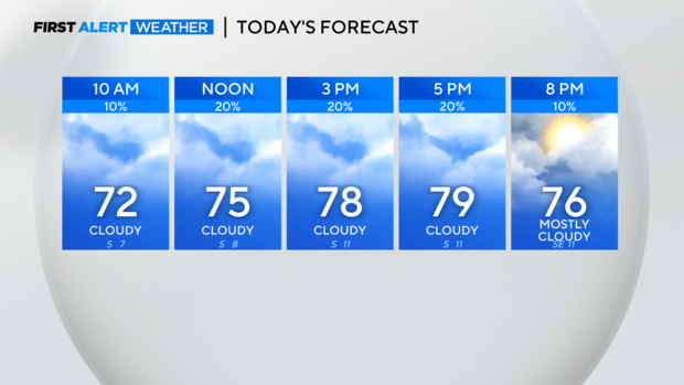
NORTH TEXAS — We are starting off mostly cloudy with temperatures in the mid/upper 60s. An isolated shower is possible today but most of us remain dry with afternoon temperatures near 80.
Thursday will be very similar to today with breezier southerly winds. Overnight into early Friday morning, storms will move in from the west and track through the Metroplex for the morning drive. Storms will likely be the strongest and possibly severe in our western counties with a gradual weakening trend as they near DFW. Still, an isolated strong to severe with hail and gusty winds is possible throughout all of North Texas.
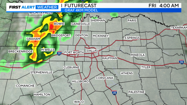
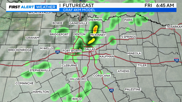
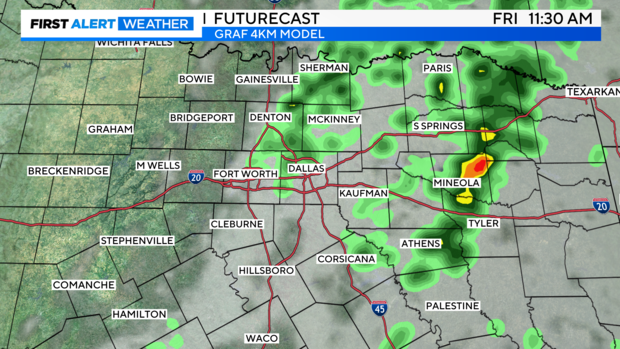
By midday, most of the activity is east of I-35 with partly cloudy skies developing west of I-35. Redevelopment of storms is possible in the afternoon with daytime heating mainly in our eastern areas with the potential of an isolated severe storm.
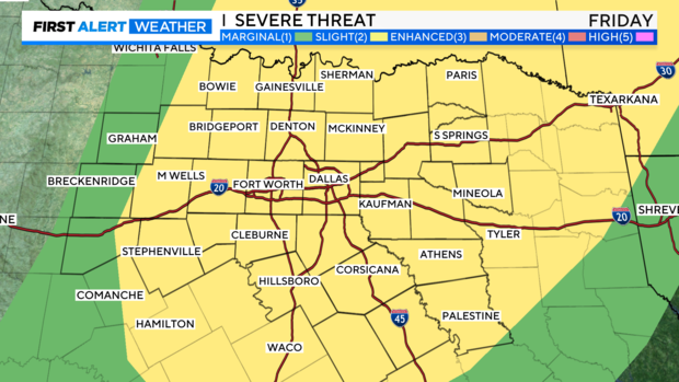
There is a level 2, slight risk for North Texas of severe storms capable of mainly large hail and damaging winds, but an isolated tornado can't be ruled out.
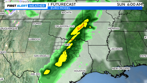
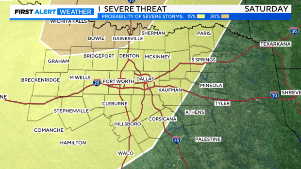
Friday is just our first round of rain and storms. Rain may develop Saturday midday ahead of a cold front that will increase storm chances by the evening and overnight hours. The severe threat is slightly higher Saturday evening with threats of large hail, damaging winds and an isolated tornado continuing.
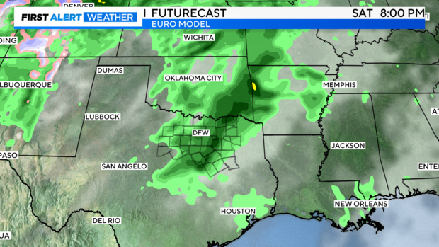
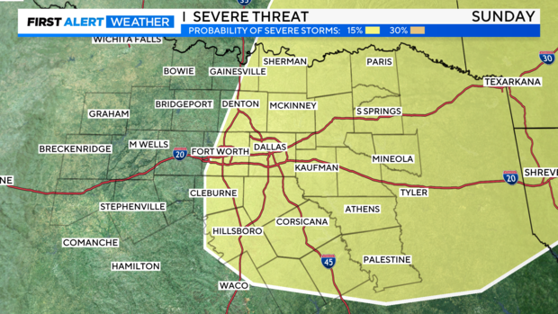
Depending on how far east the front makes it, will impact our rain chances on Sunday. If it stays further west closer to the Metroplex, it will be a soggy start to our Sunday especially east of I-35. However, if the front is pushed into East Texas, most of us will have a dry Sunday.
We are continuing to refine the timing and threats for the weekend, so please stay with the First Alert Weather Team. The Storm Prediction Center has portions of the area highlighted for the potential of severe storms all weekend.
After a stormy weekend, we see some sunshine return Monday and Tuesday with a quiet few days. Temperatures warm into the mid-80s to start the week.