NEXT Weather: Philadelphia region to cool-down, then warm-up this week
PHILADELPHIA (CBS) -- The weekend in the Philadelphia region closes out with increasing clouds and late showers into Monday morning, thanks to a cold front extending from the Great Lakes all the way down to the Gulf Coast.
Because it won't be particularly windy, patchy fog could once again be an issue into the wee hours, impacting the morning commute. It'll be a good idea to budget a little extra time.
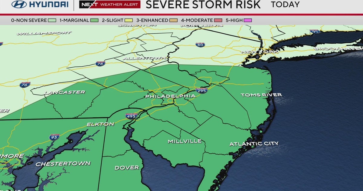
Given the dynamics of the atmosphere, and the fact that the rain moves in well after dark, severe weather does not look likely with any scattered rumbles of thunder we may hear. That said, a few downpours are likely.
Flooding shouldn't be an issue either, as these storms will be racing northeast overnight.
Cooler and drier
While it may take a little time for all of the clouds to disperse, expect mostly sunny skies to return to the area by the mid-afternoon at the latest, with breezy conditions.
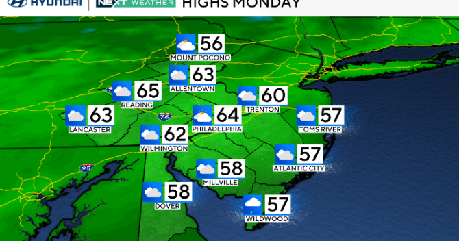
The cold front will certainly live up to its name, with noticeably cooler air working its way in throughout the day. Instead of the 70s and 80s we've seen lately, Monday's highs will be set in the 60s.
The real cool-down will be felt Monday night into Tuesday, however.
A secondary cold front will move through the area late Monday into Tuesday, giving us a few clouds, but reinforcing the cooler air.
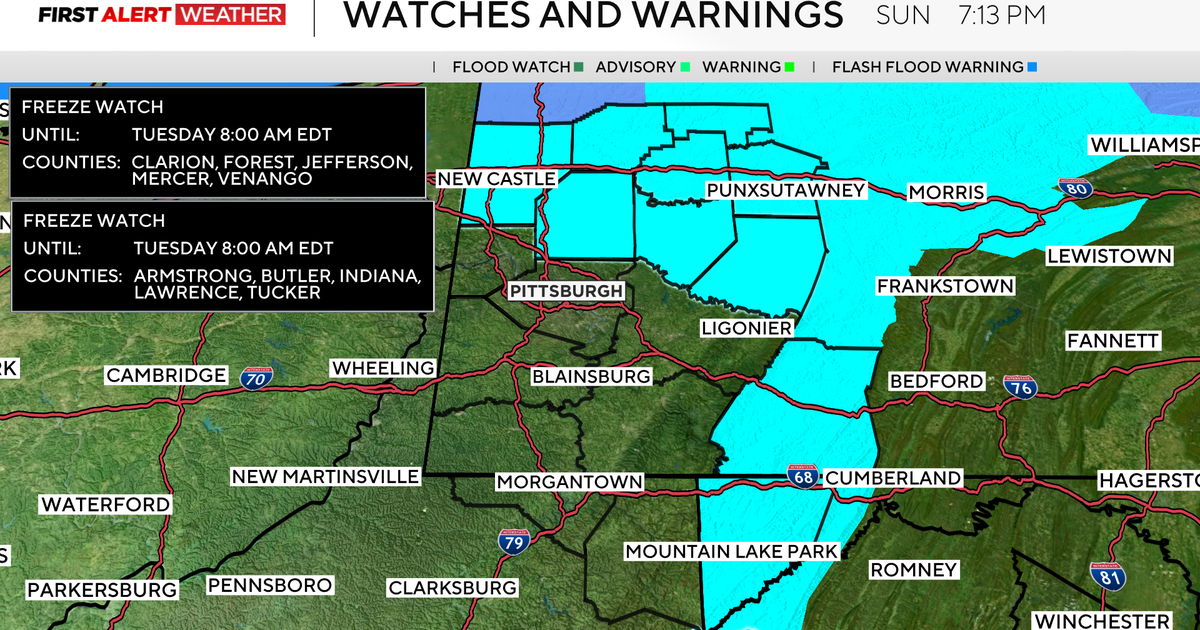
Lows Tuesday morning will be in the 40s to near 50s in the city, and the upper 30s around the Poconos.
While mainly dry, we'll see more overcast skies to start Tuesday, followed by a return to sunshine by the afternoon.
Highs on Tuesday will struggle to get out of the 50s for most areas, including the Philadelphia metro.
Slow and steady warm-up
As quick as we cool down in the week ahead, we warm back up.
While Tuesday night into Wednesday will still be on the cooler side, Wednesday's highs will rebound into the middle 60s, where they average out this time of year.
By Wednesday afternoon, with no cold fronts to our west, ridging will build up once again. This means we see more of a south and southwest flow of air and a return to pumping in those warmer temperatures.
With this southerly flow, expect highs to reach the 70s by Thursday and 80s by Friday, under mostly sunny to partly cloudy skies.
We'll remain warm into the evening Friday, as we watch increasing clouds and rain (along with cooler air!) approach for the start of next weekend.
Have a great week ahead!


