NEXT Weather: Ian's remnants finally losing a grip on Philadelphia region
PHILADELPHIA (CBS) -- The middle of the week comes as the first shot we have at finally getting some sunshine across the Philadelphia region. Ian's influence is moving east, meaning the rain, wind and coastal flooding issues are all coming to an end.
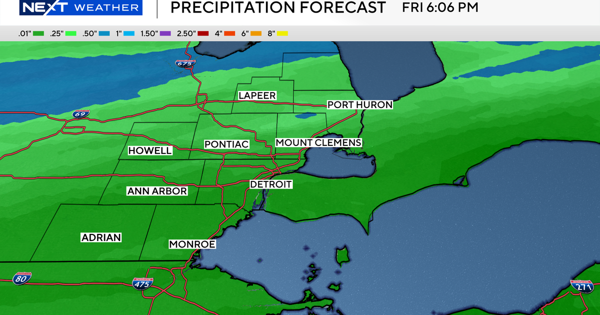
That said, expect rounds of light showers to stick around through the overnight on Wednesday. Amounts will generally be on the lighter side, with a trace to up to .25 inch of additional rain likely. Winds will continue to be on the breezy side; expect gusts upwards of 20-25 MPH.
On Wednesday night, winds will subside, as temperatures dip into the 50s (not really changing much from where they are during the day). With a damp ground, this means patchy fog will be the concern overnight and into the early morning commute on Thursday. Budget a little extra time Thursday morning as visibilities may drop below 1 mile.
Brighter skies are ahead for Thursday afternoon and Friday.
Highs will be much closer to average for this time of year, with afternoon temperatures in the upper 60s and low 70s.
CBS3's Andrew Kozak reported on this post.
