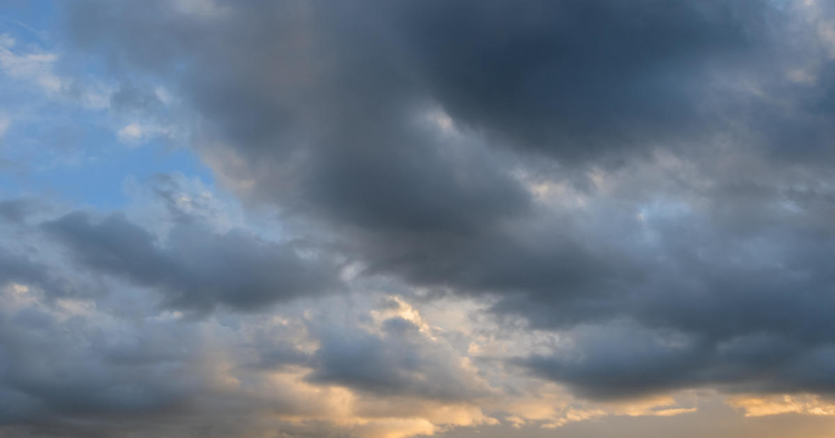
Flood watch issued across Los Angeles, Ventura counties as heavy rainfall expected in region
The first storm in a set of weather events has arrived in Southern California bringing light showers Tuesday morning.
The National Weather Service said this current storm will not last long and by the afternoon it will move east. The only rain that will occur will be in the southern part of Los Angeles County, particularly in the San Gabriel Valley.
Parts of LA County could likely receive between a third and two thirds of an inch of rain. Mountain areas around 6,000 feet could get around six inches of snow.
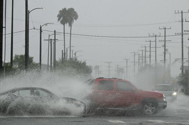
The second storm is slated to arrive Wednesday afternoon with rainfall increasing overnight. Weather officials have issued a flood watch for much of LA and Ventura counties, 6 p.m. Wednesday through 6 p.m. Thursday.
The NWS warns about potential flash flooding and debris flows in burn scar areas caused by excessive rainfall. During the peak of the storm, forecasters said, rainfall rates could be between .50 and .75 inches of rain per hour.
There is a 10 to 20% chance of thunderstorms Wednesday night. Weather officials ask people to limit travel during periods of heavy rainfall and stay up to date with warnings.
The cold front will also bring gusty winds between 30 to 5 mph. The NWS said they could issue additional wind advisories for non-mountain areas.
Potential impacts:
- Roadway flooding likely
- Minor rock/mudslides
- Shallow debris flows near recent burn scars
- 30-50% chance of significant debris flows
The NWS has also issued a winter storm watch for mountain areas including northern Ventura County mountains, western San Gabriel mountains and the Interstate 5 Corridor.
"Heavy snow possible with 12 to 24 inches possible above 6500-7000 feet, 6-12 inches 5500-7000, 1-5 inches 4000-5500 feet, and up to an inch as low as 3000 feet," the NWS said. "Winds could gust as high as 50 mph."
Drivers are urged to travel with caution and to be prepared with the necessary snow equipment like tire chains. Roadway conditions could become dangerous and gusty winds could knock down trees and power lines.