Record cold temperatures hit Los Angeles as strong winds cause damage, sinkhole swallows car
Another winter storm hit Southern California Tuesday, the second of three pushing through the area, bringing more rain to an already soaked region and prompting the National Weather Service to issue a winter weather warning for Los Angeles County mountains.
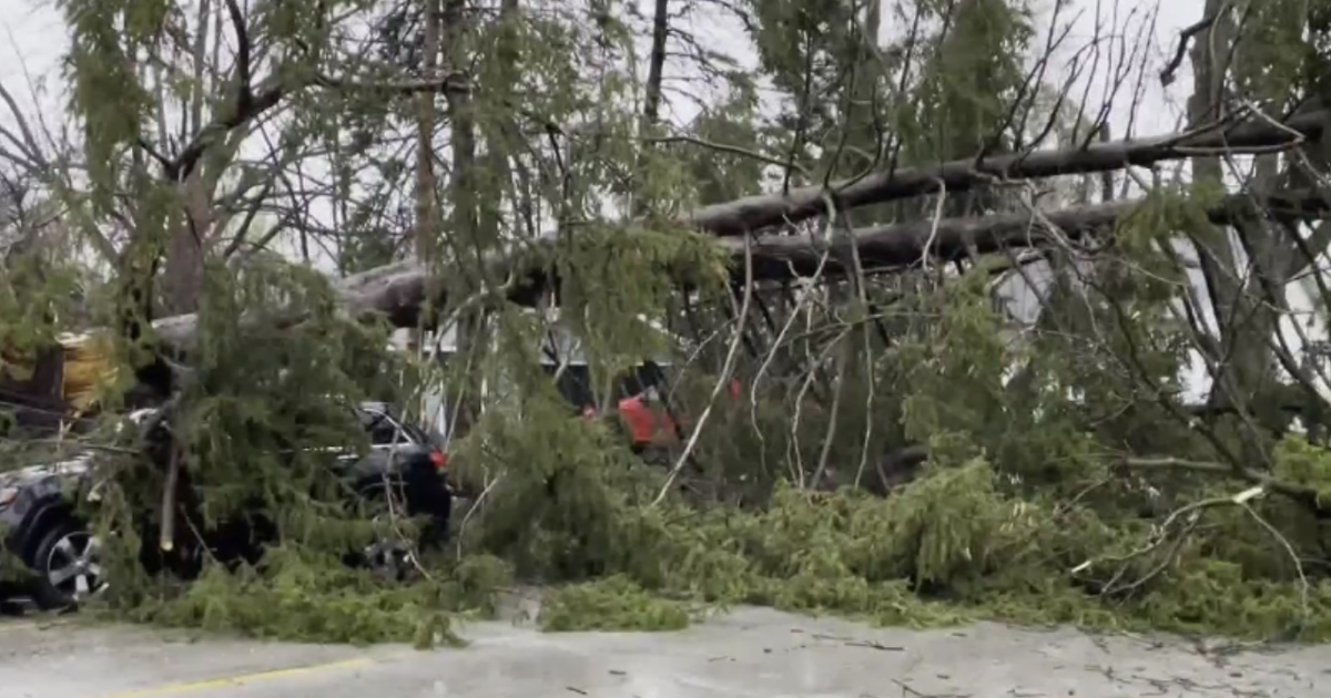
Wednesday strong winds continued, knocking over trees and even sending a trampoline flying dangerously into power lines in the Pico Rivera area.
"It sounded like a movie," said a neighbor to KCAL News of the strong winds. "The whole house was shaking. Everything was rumbling."
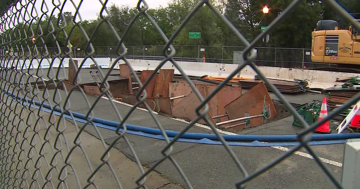
In Santa Paula, a sinkhole swallowed a car. It happened around 5 p.m. in front of Santa Paula High School on Sixth Street. There were no injuries.
Wednesday night, the Santa Paula Unified School District announced classes would be canceled Thursday. In a statement, the district said the closure was "out of an abundance of caution."
"It's pretty cold actually," said Pia Kruse, a Venice resident. "We had a few days of rain. And I brought a blanket because I'm shivering."
Parts of Los Angeles saw record-cold temperatures and Woodland Hills also got record rainfall of nearly 11 inches during the last storm.
Southern California was beginning to dry out from two days of virtually nonstop rain on Friday and Saturday. The powerful winter storm dumped 10.79 inches of rain on Woodland Hills through Sunday morning, 9.29 inches in La Cañada Flintridge, 8.38 inches in Newhall, 8.11 inches in Pasadena, 6.88 inches in Burbank, 6.76 inches in Bel Air and 4.49 inches in downtown Los Angeles, according to the NWS.
Even some small businesses in LA said they noticed customers staying home to keep dry.
"The rain absolutely kept people from coming in," said Kirstin Bencomo-Cooper of Hank's Bagels in Sherman Oaks.
More than 2,000 tree-related calls-for-service were made across Los Angeles after the storm swept through. About 30 teams are helping to move downed trees in neighborhoods.
"We get heavy rains, trees get top-heavy, gravity takes over, the ground gets saturated and it just weakens the ground, the anchor roots so the trees end up toppling over," said an expert with "Streets LA" helping with the clean up.
The torrential rains in La Cañada Flintridge prompted a mudslide Sunday that severely damaged at least one home on Paulette Place and raised concerns about additional slides that could occur with more rain.
Temperatures continue to be well below normal. Daytime highs on Sunday were 54 degrees in downtown Los Angeles, 52 in North Hollywood, 51 in Pasadena and 49 in Valencia. Those numbers were expected to be roughly the same over the next few days.
Lows were mostly in the 30s, dropping to the 20s in some mountain areas and in the 40s in Orange County.
This weekend was the first time downtown Los Angeles received at least 2 inches of rain on consecutive calendar days since Feb. 28 and March 1 of 1978, according to the NWS.
The weather service added that Friday was the wettest February day at Burbank Airport since records began there in 1939, beating the previous record of 4.50 inches set on Feb. 8, 1993.
A series of three storm fronts will be pushing through the area this week, forecasters said. The weakest of the three was felt in the region early Monday, followed by a secondary front was expected to arrive Monday evening into Tuesday. The early waves of the storm brought some rain, but only at a "moderate" pace compared to the heavy downpours seen late last week.
The strongest front is expected late Tuesday into Wednesday. Forecasters said by the time the storm series ends, most valley and coastal areas would see between 0.75 to 1.25 inches of rain, with some mountain areas receiving up to 3 inches.
"Gusty southwest to west winds are possible for periods of times, especially across the interior portions of the area and mountain areas over the next several days," according to the NWS.
A wind advisory was in effect until 10 p.m. Monday in the Antelope Monday, but a more serious high wind warning will take effect at 2 p.m. Tuesday and continue until 4 a.m. Wednesday. Forecasters said southwest winds will blow at 25 to 40 mph, with gusts of up to 60 mph.
Meanwhile, thousands of people remained without electricity Monday following the powerful storms.
The Los Angeles Department of Water and Power reported Monday afternoon that about 27,000 customers were without power, but crews had restored power to about 143,000 customers who lost electricity during the storms. The utility reported that crews were working around the clock to get the power back on.
A DWP worker was in intensive care after suffering an injury while working to restore power Saturday in the San Fernando Valley, according to the utility.
"This accident and serious injury of our employee is a reminder that our line crews and other field personnel are truly unsung heroes who work in hazardous conditions risking their lives to keep the power flowing across our city," LADWP General Manager Martin Adams said.
Meanwhile, Southern California Edison's outage map showed 44 outages affecting more than 2,100 customers across its vast service area, including about 330 in Los Angeles County and about 23 in Orange County.
Los Angeles County health officials continued to warn people to avoid going into the ocean near discharging storm drains, creeks and rivers until at least Wednesday due to the storms. The water might contain bacteria, chemicals, debris, trash and other health hazards.

