Texas Governor Greg Abbott: Approaching Hurricane Laura Predicted To Have 'Unsurvivable Storm Surge'
AUSTIN (CBSDFW.COM) - Wednesday afternoon Texas Governor Greg Abbott provided an update on the state's ongoing response to Hurricane Laura.
"For the areas in southeast Texas, that will be closest to the point where the hurricane will come across the shoreline, those people still have only about five hours to evacuate. There have been reports from local county judges, as well as other local officials, raising concern about the people in these regions where the hurricane may be coming across the shore... about the number of people who have not yet evacuated."
As it stands Laura is expected to make landfall around 1:00 a.m. Thursday and officials in Texas anticipate the storm being out of the state by Thursday night.
During the press conference Governor Abbott said rescue efforts will begin during the morning daylight hours, but that from about 7:00 p.m. Wednesday until 9:00 a.m. Thursday there will be no ability for rescuers to get in and assist residents in the storm path.
"We urge everybody who may be in harms way to take these few last hours to get out of harms way," he said. "It may only be a day or two that you are required to be out of harms way, but because of the power of this storm if you are unable or do not get out of harms way the reality is -- for almost a 24 hour time period -- there will be no ability for rescuers or aiders to get in and assist you in anyway."
Hurricane Laura rapidly gained Category 3 strength early Wednesday morning and increased fears that the storm could come ashore as a Category 4 hurricane, with a storm surge of 18-feet or more.
Abbott said, "This has been categorized, repeatedly, as an unsurvivable storm surge where it will be hitting. And that storm surge could continue inland for about 30 miles. We do expect tropical storm winds to begin around 7:00 or 8:00 p.m. tonight and gathering as it continues through Texas."
If the peak surge happens during high tide, water levels along Texas' Sea Rim State Park could rise to between 10 and 15 feet.
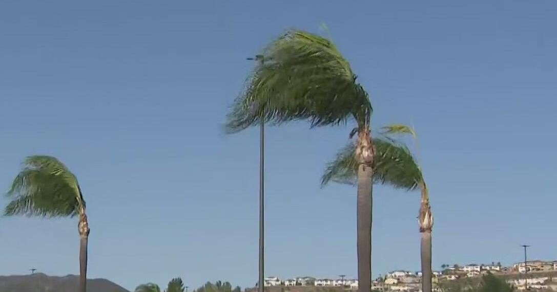
While major rain and flooding is expected in a 'cone' area following the projected path of the storm, Abbott stressed that heavy winds will also occur outside of that area. "In this storm winds are going to the biggest threat. Tropical Storm winds are likely to occur as far north as Longview."
In just 24 hours Hurricane Laura grew nearly 70% in power, as it drew energy from the warm Gulf Coast waters. If the storm continues as predicted it will be the most powerful hurricane to hit the U.S. so far this year.
"We do expect power outages in the areas hardest it," Abbott said. "If you lose power it is very important that you do not bring your generators inside a home -- that could lead to carbon monoxide poisoning."
Experts say a Category 4 hurricane can cause damage so catastrophic that power outages last for months and areas are let uninhabitable for weeks or months.
Mandatory evacuation orders meant more than half a million people were expected to pack up and leave their homes near the Texas-Louisiana state line. The low-lying areas, including Beaumont, Galveston and Port Arthur, are where forecasters are predicting a storm surge so big that it could submerge entire towns.
