Freezing rain covers most of North Texas on Tuesday

NORTH TEXAS (CBSDFW.COM) – Old man Winter is here as we round out January and head into February. Our First Alert Weather Days Continue through Wednesday.

A Winter Storm Warning continues through noon Wednesday for all of North Texas.

Pockets of freezing drizzle and freezing rain continue across North Texas Monday night but the coverage will increase in our overnight hours toward daybreak.
We see another area of lift in the upper atmosphere increase our coverage and heavy sleet is possible from 4 a.m. to 9 a.m., moving SW to NE across most of NTX. Rounds of sleet continue through the morning hours and then off and on through the afternoon.


We could see around 0.10" to 0.50" of additional ice accumulations in parts of NTX.

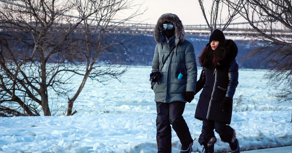
Temperatures Monday night are dangerously cold in the mid to upper 20s. This is the cold where you need to drip any faucets to avoid freezing.

We are cold through our midweek before we start to thaw out at the end of the week. High temperatures are in the mid 50s by Friday and this Sunday will feel "warm" compared to today with a high of 60 under mostly sunny skies.