Bomb Cyclone Off Pacific-Northwest Had The Pressure Of A Category 4 Hurricane
by Blake Mathews | CBS 11
FORT WORTH (CBSDFW.COM) - A strong mid-latitude cyclone off the Pacific-Northwest is one for the record books.
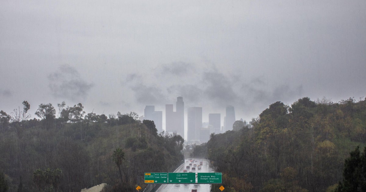
Bringing widespread record rain and snowfall to the west coast, the storm powered up so strong on Sunday, Oct. 24 that it would rival any category four hurricane in terms of its pressure.
Tremendous rainfall has swamped a drought-stricken California where scarce rainfall has now become too much of a good thing.
A hard, cracked ground and abundant burn scars has caused a lot of water to run off causing mudslides and rampant flash flooding.
In Sacramento, California's state capital, set an all-time record 24-hour rainfall total of 5.44" breaking the old record of 5.28" set 141 years ago in 1880!
Blue Canyon picked up 10.44" of rain in 24-hours breaking their old record of 9.33" set in 1964.
It doesn't end there.
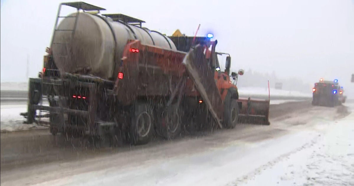
Many of the well-known ski resorts like Kirkwood also picked up tremendous amounts of snow over the past 24-hours. Donner Pass, straddling the California-Nevada border picked up 29 inches alone. Soda Springs also picked up 29 inches while Kirkwood picked up 15 inches.
Seas as high as 50 feet were also observed with winds 60-100 mph.
So what exactly is a "Bomb Cyclone?"
A bomb cyclone is defined as an area of low-pressure where the pressure in the storm rapidly decreases; losing 24 millibars in a 24-hour period.
This is closely associated with a rapidly strengthening system. Meteorologists term this as "bombing out," hints the name. The general rule of thumb is the lower the pressure goes, the stronger the storm is. If a hurricane in the Atlantic were to rapidly lose pressure, we would be very concerned that we could see a major hurricane develop.
Category four hurricanes generally have a pressure in the 930's or low 940's, very low considering the standard atmospheric pressure is around 1013 millibars. So to see a non-tropical area of low pressure deepen that quick and observe a pressure that low is definitely superlative.
Thankfully, this storm is beginning to weaken as it pushes north towards Alaska. However, a piece of its energy will break off and become its own storm system Monday night into Tuesday and progress towards Texas. This will drag a front through here which will be accompanied by a strong line of showers and thunderstorms with hail and gusty winds being the primary threat.
Once the storms push through early Wednesday morning, expect skies to clear with lots of sunshine through the weekend and very windy conditions Wednesday into Thursday.