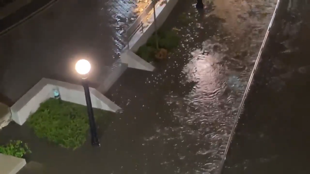
Chicago Weather: Recent Storms Break May Record For Rainfall
For the third year in a row, Chicago has seen more than 8 inches of rain in May, with a record 8.3 inches so far this month, following two major rainstorms in the past week.
Watch CBS News
For the third year in a row, Chicago has seen more than 8 inches of rain in May, with a record 8.3 inches so far this month, following two major rainstorms in the past week.

According to the National Weather Service, more rain fell in Chicago between Thursday and Sunday than during 1,759 of the 1,792 months of rainfall on record.

On Thursday alone, 3.53 inches of rain fell at O'Hare, shattering the old May 14 record of 1.95 inches, set in 1945, and the wettest single day at the airport since Oct. 14, 2017.
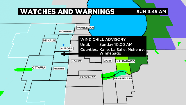
The National Weather Service has issued a wind chill advisory until 10 a.m. for Boone, DeKalb, Grundy, Kane, Kendall, La Salle, McHenry, and Winnebago counties.

Here are the 24-hour total snowfall amounts reported by the National Weather Service as of Sunday morning:
Here are the 24-hour total snowfall amounts reported by the National Weather Service as of Tuesday morning:
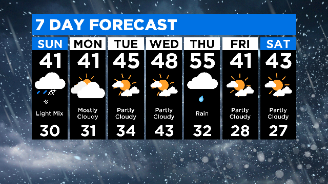
According to the National Weather Service, the first half of November was the coldest in 148 years for Chicago, with an average temperature of 31.2 degrees.
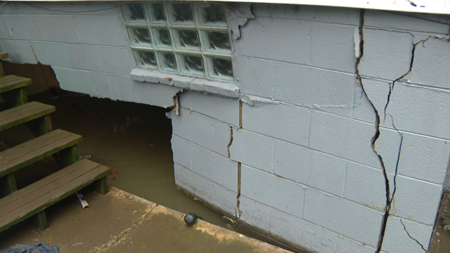
Rain has cleared out of the Chicago area, but not before soaking the city and suburbs following back-to-back nights of storms.
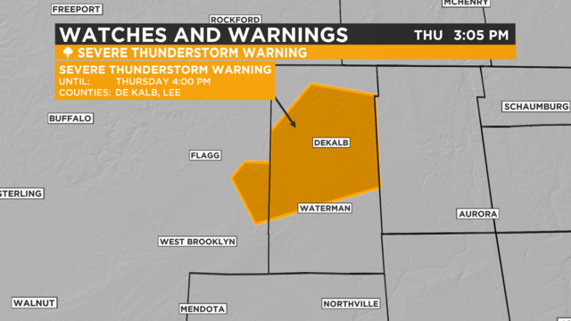
The National Weather Service in Chicago has issued a severe thunderstorm warning for parts of DeKalb and Lee counties until 4 p.m.
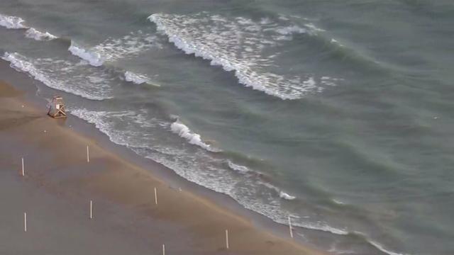
Winds are expected to increase to 15 to 25 mph Friday afternoon over the lake, creating dangerous waves.

The National Weather Service has confirmed an EF1 tornado touched down in Waukegan Tuesday night.
A funnel cloud was spotted over the city near the Waukegan Airport around 7 p.m. The National Weather Service has said there is evidence a tornado likely occurred, causing a narrow path of damage for about two miles.

The National Weather Service on Tuesday was investigating a "probable" tornado in Waukegan.

The National Weather Service and the U.S. Coast Guard are warning people to stay out of the water at Chicago's beaches, due to waves up to six feet high.

Thunderstorms that moved through the Chicago area have delayed the arrival of a heat wave, with highs now expected to reach only the upper 80s to low 90s on Thursday, but extreme temperatures are still expected to arrive on Friday.
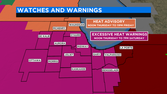
The hottest temperatures of the year are on the way for Chicago over the next three days, prompting an excessive heat warning from Thursday afternoon through Saturday night.

Heavy storms moved across parts of the Chicagoland overnight, dropping as much as six inches of rain in some places and leading to flash-flooding in the south suburbs and parts of northwest Indiana.
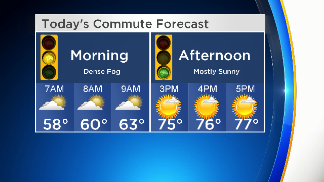
The National Weather Service has issued a dense fog advisory across the Chicago area until 10:00 a.m. Tuesday morning.

You can join the CBS 2 Weather Watch team for Safety Days at Meijer today in Highland, Indiana. You'll be able to purchase a NOAA radio at a special price, and get free Duracell batteries, plus sign up for a free smoke alarm installed by the American Red Cross.
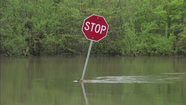
The National Weather Service predicts crests along the Illinois and Mississippi rivers in the coming week could near historic levels.
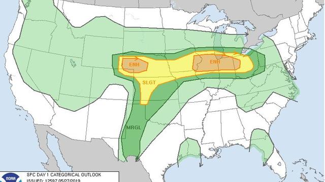
With the severe weather, there is a chance of flooding and heavy winds. The thunderstorms are set to roll in around noon and continue through the afternoon.
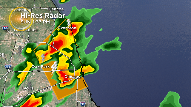
Parts of Cook County are under a severe thunderstorm warning Sunday afternoon, as a line of storms carrying 60 MPH wind gusts sweeps the area.
Here are the 96-hour rain totals for the Chicago area as of 7 a.m. Wednesday, according to the National Weather Service.

t's been a wet start to the week for Chicago, with more rain on the way. In just the past 24 hours, up to 3 inches of rain fell in northwest Indiana, and up to 2.8 inches fell in the western suburbs.
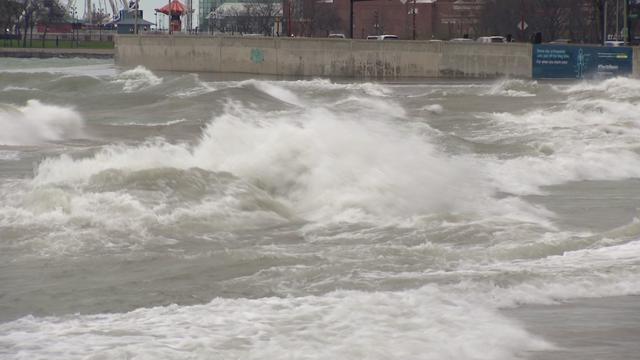
According to the National Weather Service, wind gusts of up to 45 mph are expected throughout the day, producing waves of 8 to 12 feet.