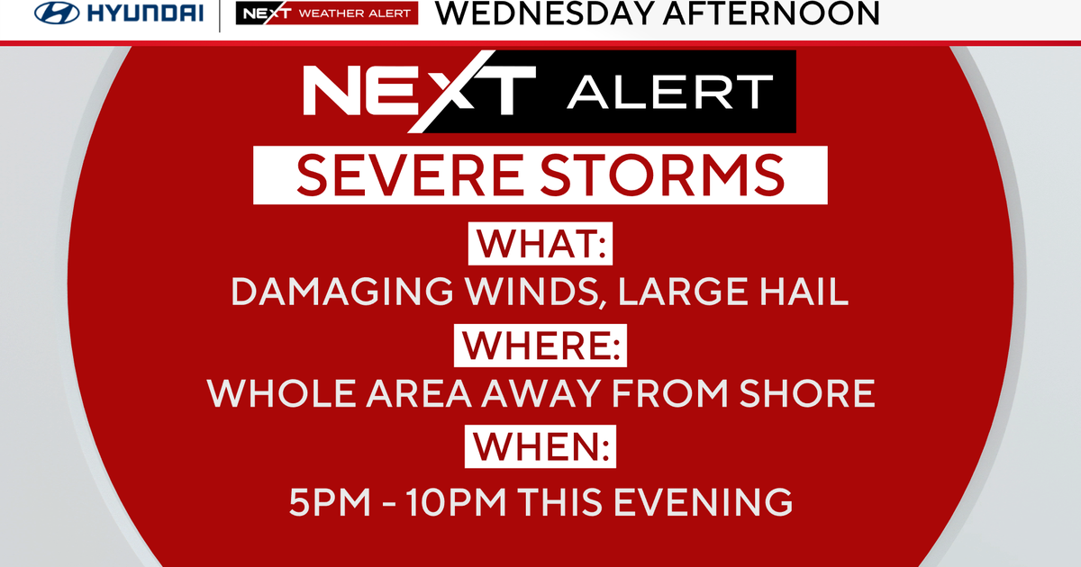
Severe storms hit Chicago area, parts of Northwest Indiana

The Chicago area and parts of Northwest Indiana were impacted by severe weather on Sunday.
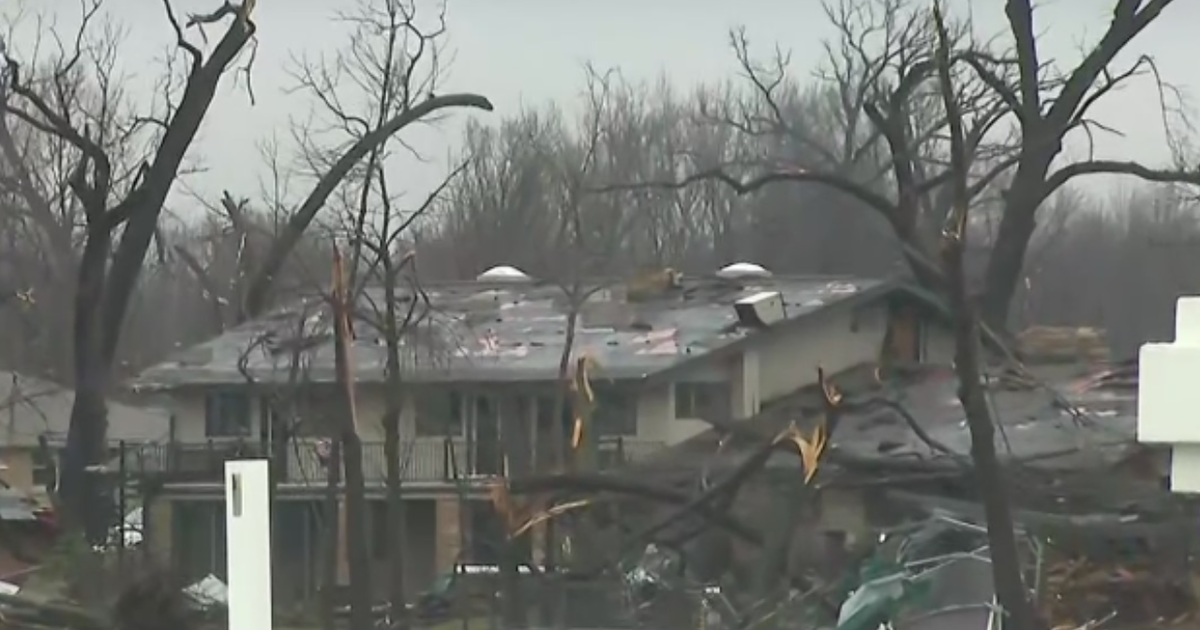
A rare Tornado Warning was issued for Kankakee, Illinois, and Newton and Jasper counties in Indiana. All of which have since expired.
As for the Chicago area, Sunday's weather involved fog, rain, some humidity, warm temperatures, thunderstorms, and strong winds. Falling temperatures, bitter wind chills, and even some snow will follow — all within 24 hours.
A ground stop was issued at O'Hare International Airport due to the thunderstorms. The ground stop was ended, only to be reinstated later. A total of 54 flights were canceled at O'Hare on Sunday, and four at Midway International Airport.
The entire Chicago area will also be under a Wind Advisory beginning at 6 p.m. Sunday and continuing until 3 p.m. Monday. Those winds could lead to some isolated power outages, some downed branches, and inflatable holiday decorations may meet their match.
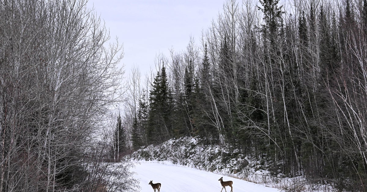
For LaPorte County, Indiana — as well as other parts of Indiana and Southwest Michigan — a Winter Weather Advisory has been issued beginning at midnight Central time Sunday night, and continuing until midnight Monday night. Lake-effect snow is expected for these areas to the tune of 2 to 5 inches, with 6 inches possible in southwest Michigan.
A storm warning was also in effect for Lake Michigan, with warnings about storm-force winds and hazardous waves making for dangerous conditions for anyone thinking of going out in a boat.
Back in Chicago, winds will be ferocious at times as we go into the evening after the cold front moves through. The winds will be sustained between 25 and 35 mph, and gusts could be up to 50 mph, especially through Sunday evening and early Monday morning.
The temperatures are going to take a huge nosedive as we go into the evening hours once that cold front moves through. Once that happens, the temperatures will fall into the 20s and 30s quite quickly.
During the overnight, temperatures will fall into the 10s, and the wind chills will be subzero by Monday morning around Chicago. There will be a few snow showers by Monday morning that could lead to a coating around town.
With that dangerously cold weather coming, the City of Aurora, Illinois, is opening a temporary overnight warming center at the Financial Empowerment Center, at 712 S. River St. The warming center will be open from 7 p.m. to 7 a.m. Sunday into Monday, Monday into Tuesday, and Tuesday into Wednesday.
The rest of the week does look to be cold and below average, so get ready for winter to make a full return to Chicago.
While the weather on Sunday was not exactly pleasant, other parts of the Midwest had it worse. Most of Wisconsin, north of Milwaukee and Madison, was under a winter storm warning until 6 p.m., with snow accumulations of between 3 and 6 inches expected. Much of the Upper Peninsula of Michigan was under a blizzard warning until 6 p.m., with total snow accumulations of between 9 and 19 inches expected.