App helps Maryland agencies track flooding, plan for future
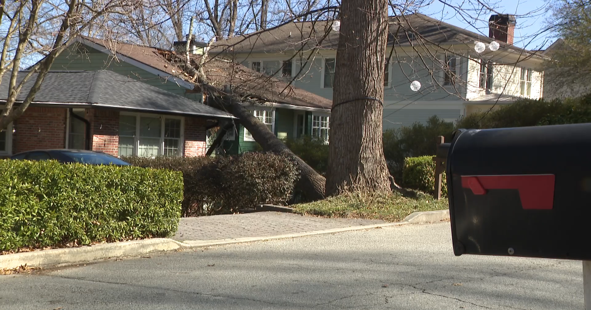
BALTIMORE -- New data is showing a deeper story behind the damage that Maryland communities saw after a hard-hitting storm brought heavy rain, damaging winds and flooding to much of the state in January.
It's all coming from people reporting on the app MyCoast by the Maryland Department of Natural Resources. The app is called MyCoast.
Residents impacted by the floods could upload photos of the damage and their location.
The data not only highlighted the damage in Annapolis or Fell's Point, but rural areas that are not on everyone's radar.
Most of the reports came from Annapolis, Edgewater and Huntingtown, but photos also came from smaller communities and peninsulas like Galesville, Grasonville and Madison.
Joanie Appell is a GIS program manager for the Anne Arundel County Fire Department.
She said because they were receiving these reports in real-time, emergency management teams knew when and how to deploy
"We're getting it live popping up on a map so we can see, ok is this going to cut off a peninsula? Do we need to have a road closure? Because we have that location data," Appel said.
The hard data can also help plan for the future and give agencies more firepower to appeal for grant money to make repairs.
The app saw nearly 250 reports from the January 9 storm, which brought two to three inches of rain to some parts of Maryland in just one day.
Kate Vogel, a Coastal Resilience Planner with the Maryland Department of Natural Resources, says most counties usually see that much rainfall during the entire month of January.
"The photos combined with some of the comments people were sending out with the time of the flooding," she said. "How this was the worst they had ever seen. It really was telling a story. And having that much more of an impact when you actually see 'oh wow their car tires are really underwater.'"
Vogel says they are sending this data to other agencies around the state to come up with plans to tackle flooding in the future.
The hope is to make changes to drainage systems, bridges, and even road repairs to make it safer for communities around the state.
