Second, stronger storm in Bay Area prompts flood watch, wind advisory
SAN FRANCISCO -- The latest in a series of wet winter storms blew ashore in Northern California on Sunday, with forecasters warning of possible flooding, hail, strong winds and even brief tornados as the system moves south over the next few days.
Gusts topped 30 mph in Oakland and San Jose as a mild cold front late Saturday gave way to a more powerful storm that will gain strength into early Monday, said meteorologist Brayden Murdock with the National Weather Service office in San Francisco.
"The winds are here and getting stronger and the rains will follow quickly," he said Sunday afternoon.
California's central coast is at risk of "significant flooding," with up to 5 inches of rain predicted for many areas, according to the weather service. Isolated rain totals of 10 inches are possible in the Santa Lucia and Santa Ynez mountain ranges as the storm heads toward greater Los Angeles.
The Monterey County Sheriff's Office issued an evacuation warning for the areas downslope of the River Fire Burn Scar on River Road as of 5:30 p.m. Sunday. Affected streets include Berry Drive, Pine Canyon Road, the 800 block of River Road, Limekiln Road and Parker Road.
A flash-flood watch has been in effect for the area that will run through Wednesday morning, as well.
Thunderstorms in valleys around the state capital on Monday could bring "brief tornadoes, large amounts of small hail, heavy rain, lightning, and gusty winds," the weather service office in Sacramento warned on X, formerly Twitter.
Rainfall will be widespread even in the mountains but several feet of snow is possible at elevations above about 6,800 feet across the Sierra Nevada, the weather service said. Motorists are urged to avoid mountain routes.
"Consider completing Sierra travel during the day Sunday or rescheduling to later next week," said the weather service office in Reno. The office issued a backcountry avalanche watch for the greater Lake Tahoe area and the eastern Sierra in Inyo and Mono counties.
KPIX First Alert Weather: Current conditions, alerts, maps for your area
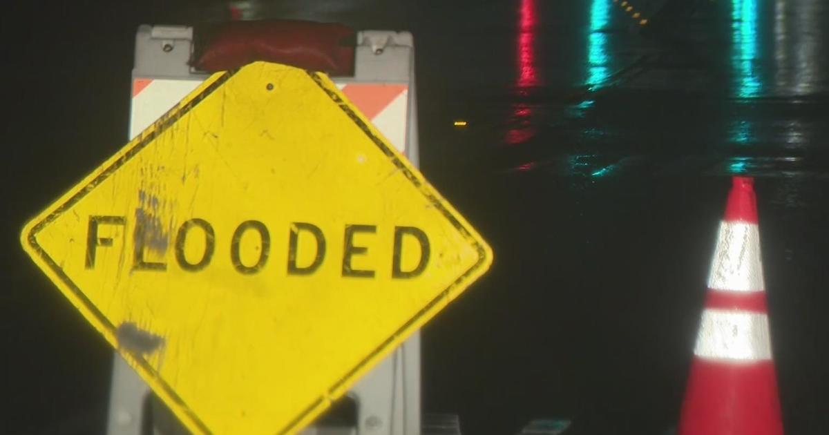
A flood watch went into effect at 10 a.m. Sunday and will remain in place through Wednesday morning because of the excessive rainfall. The NWS warns that creeks, rivers and streams are expected to swell with rainwater.
Some roads in the Bay Area will also likely see ponding and there is an increased risk of shallow landslides, such as rocks or debris on roadways.
The NWS forecasts about 1 inch to 1.5 inches of rain in the East Bay and South Bay and 2 inches in San Francisco. The North Bay may see the most rain with about 3 inches of rain expected.
Stronger winds will accompany the storm, reaching 35 to 40 mph on Monday.
A wind advisory also went into effect Sunday at 10 a.m. It will stay in place until Tuesday. Those winds could cause some issues with the power grid but power outages are not expected.
The California Governor's Office of Emergency Services activated its operations center Saturday and positioned personnel and equipment in areas most at risk.
CBS News Bay Area correspondent Jose Fabian contributed to this report
