Bay Area scientists use game-changing technology to help birds amid climate change

SAN FRANCISCO BAY -- Bay Area scientists are using cutting-edge technology to better understand the decline in bird populations while finding ways to help species that are challenged.
In the past 50 years, nearly 30% of the birds in North America, some 3 billion birds, have vanished due primarily to habitat loss, pollution, and now climate change.
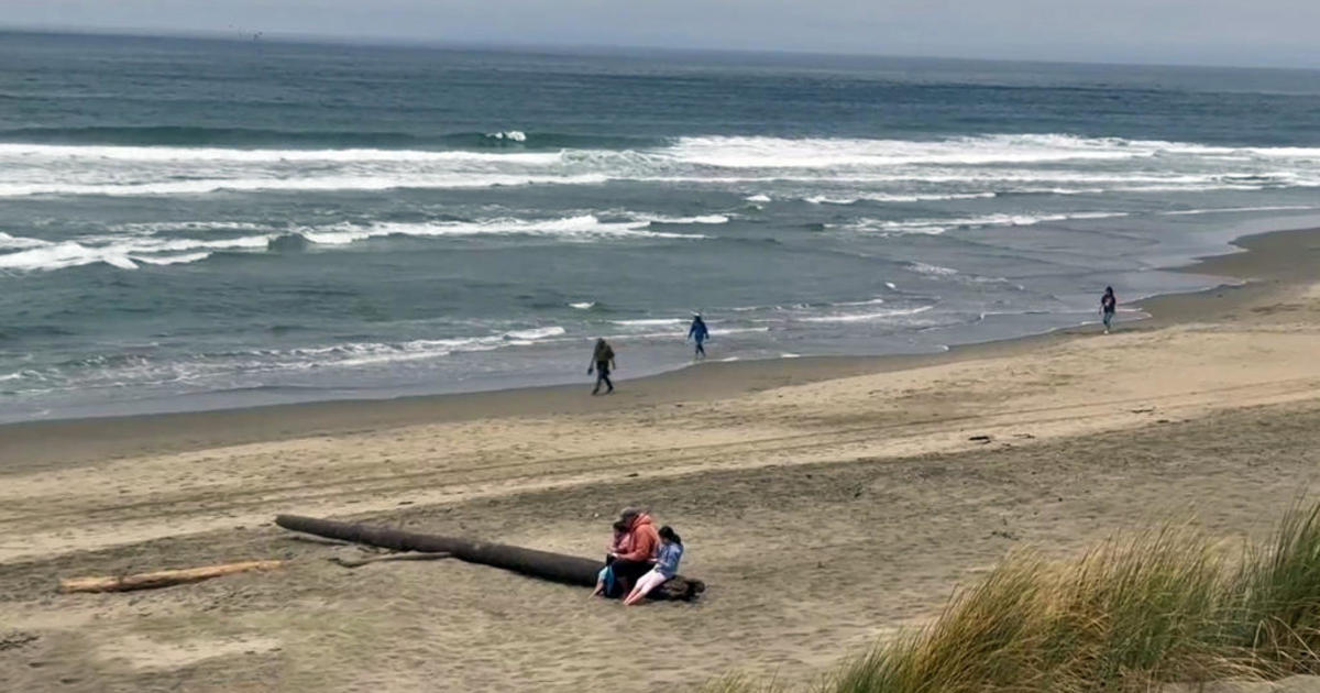
At the southern edge of the bay surrounded by urban sprawl, native and migratory birds have found a haven on a tiny strip of forest.

"This is a little island of natural habitat for everything that lives here, specifically we watch the birds," explained Katie LaBarbera, science director with the Land Bird Program at the San Francisco Bay Bird Observatory. "With climate change, these ecosystems are being impacted, these species are being impacted often in a negative way."
She manages the Coyote Creek Field Station in Milpitas. Over the past 40 years, volunteers with the non-profit have studied birds at this year-round bird banding station. They've seen a worrisome decline in some species.
- ALSO READ: How to Help Birds
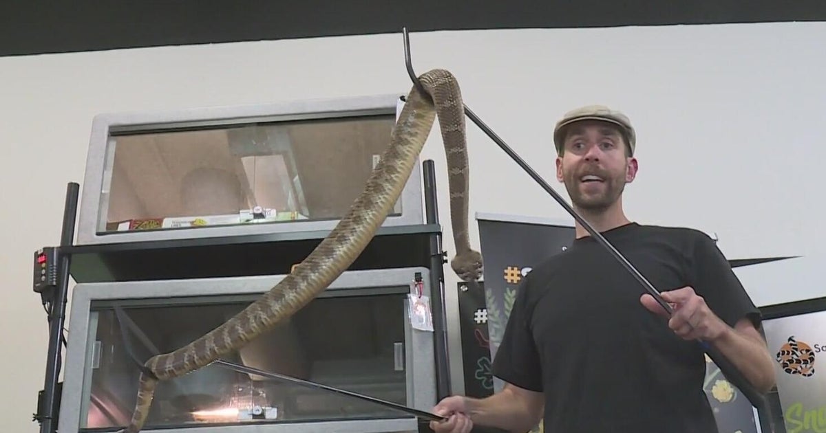
To shed light on the issue, LaBarbera and her team collect data, using a traditional research method known as "bird banding." Birds are caught gently using special soft nets, they are weighed and their feathers are inspected for diseases or opportunistic infections or pests. Researchers examine them for fat deposits and any signs of molting. A lightweight band engraved with a unique ID number is then fitted around its leg like a loose bracelet before the bird is released.
If the banded bird is caught again, the identification on the bracelet allows scientists to keep track of its movement. But there is a big downside: the recapture rates are very, very low.
"You recapture a very low percentage of all the birds you band," noted LaBarbera. "So you must band a lot of birds to have any of them turn up at another station."
Now, a game-changing technology is blowing researchers away. It's called the Motus Wildlife Tracking System. The tracking system is an international collaborative research network.
Motus uses radio transmitters to simultaneously track wildlife across vast distances in real-time across the globe, revealing incredible new details. The system has been used on the East Coast for some time. Now, stations are being set up along the Pacific Coast.
"We've never been able to see data like this on the West Coast before," exclaimed LaBarbera.

"It's been very exciting," proclaimed Levi Souza. Souza is a Senior Environmental Scientist with the California Department of Fish & Wildlife. He heads up the Department's Motus Program. "We have these big gaps in our knowledge about the basic life history of a lot of wildlife and to be able to fill in those gaps it's very gratifying."
To date, California has more than 50 Motus stations with antennas strategically placed from the Oregon border to the Salton Sea at the southern end of the state.
Souza brought CBS News Bay Area to Grizzly Island, where his group manages the Motus tower there. The California Department of Fish and Wildlife put up its first station around the start of 2021.
"Usually, one station per property is all that's really required to cover anything that might be moving by or using that property," explained Souza.
With Motus, researchers attach tiny tracking tags to small birds, bats - even butterflies and bees.
When the wildlife flies by a tower, the tag emits a unique, encoded radio signal, that gets picked up by the antenna. The range can be up to 12 miles. The signal then goes to the cloud and ends up in a central database.
"Then it's available for the public to take a look at and also researchers," noted the scientist.
Some of the nanotags are solar-powered, others have batteries. They are much cheaper than GPS tags that are better for bigger animals such as whales and sharks.
There are now 1,200 Motus stations across 31 countries monitoring at least 250 species of birds, bats, and insects. Souza told CBS News Bay Area that some of the data he's seen on the Motus website is stunning and eye-opening.
"We've had detections of Western meadowlarks in the Central Valley, in the northern part of the Valley that were tagged in Montana," declared Souza.
What is key and remarkable with Motus is that researchers around the world are pooling their resources and sharing the data. The hope is that by collaborating, the scientists will more quickly understand where the birds are spending time, and identify which areas are the most important to protect, as the planet continues to warm. Climate change is a huge concern for these scientists.
"Yes. I'm very concerned," said LaBarbera.
At the Coyote Creek Field Station, researchers erected a Motus tower and station. So far, they have attached nanotags to four birds: two hermit thrushes and two song sparrows. The San Francisco Bay Bird Observatory hopes to tag 10 more wild birds in the next few weeks.
LaBarbera hopes that the warming planet, the data - and humans - will help give these birds a fighting chance.
"The more we slow climate change, the better," said the scientist, hoping for more than just a wing and a prayer.