Flood, wind warnings in effect as atmospheric river storm blasts Bay Area
SAN FRANCISCO -- A dangerous atmospheric river storm moved into the Bay Area late Saturday afternoon, triggering a flood watch with the possibility of mudslides and wind damage through Sunday.
San Jose emergency
San Jose officials issued a proclamation of local emergency Saturday night as up to two inches of rain were forecast for the city in the next 24 hours.
KPIX First Alert Weather: Current conditions, alerts, maps for your area
Homeless people living along the Guadalupe River will be ordered to evacuate, the city said in a report on preparations for the arrival of a so-called atmospheric river.
Other unhoused people may receive a free ride to a shelter at Roosevelt Community Center, 901 E. Santa Clara St. An additional shelter is being prepared at Camden Community Center.
Rainfall in the Santa Cruz Mountains will feed into the Guadalupe River, which runs through downtown San Jose, according to the report.
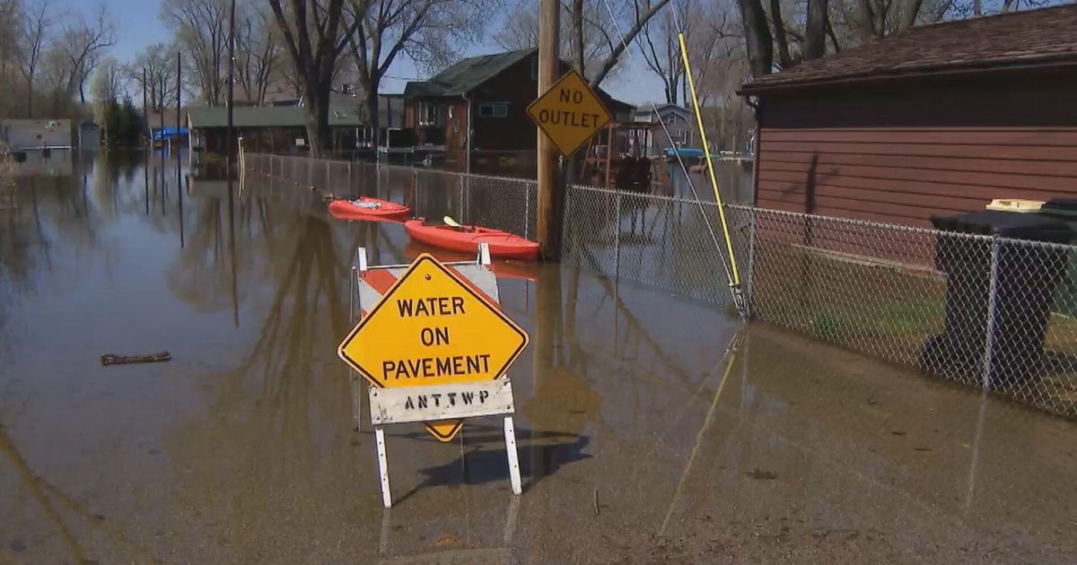
Besides their impact on the homeless, rising river levels could spread to the streets, potentially affecting parked vehicles, the report said. The city advised moving vehicles to higher ground if parked in a potential flood area.
Rising rivers
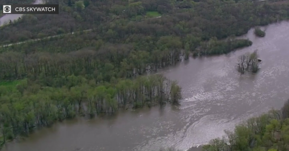
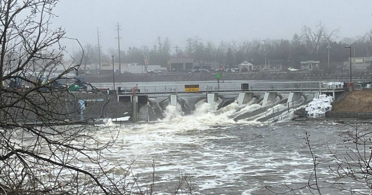
The heavy rain may cause area rivers to rise rapidly, with some reaching flood stage as early as Sunday morning, the National Weather Service said Saturday.
- The Guadalupe River at the Almaden Expressway is expected to reach 11.6 feet, considered moderate flood stage, by mid-morning Sunday.
- The San Lorenzo River at Big Trees is forecast to reach 19.7 feet, considered moderate flood stage, by early afternoon Sunday.
- The Carmel River at Robles Del Rio will reach 10.5 feet, just below moderate flood stage, by Sunday evening.
- The Pajaro River at Chittenden should reach 22.6 feet, the monitor stage, by Monday afternoon.
High Wind Warnings
The coastline and higher elevations of the North Bay and the Central Coast were upgraded to High Wind Warnings, with strong southerly gusts to 60 mph or higher, forecasters said Saturday evening.
High wind warnings went into effect at 10 p.m. Saturday and will continue until 10 p.m. Sunday.
The strongest winds in the Bay Area were expected in higher terrain and along the immediate coast, according to the weather service.
"The public is advised to stay indoors and avoid unnecessary travel," the report said.
Flood Watch
There is a Flood Watch in effect for most of the Bay Area that began at 4 p.m. Saturday and will remain in place until 10 a.m. Monday. Wind advisories were issued Saturday night throughout the Bay Area, with widespread 40 mph or greater gusts expected.
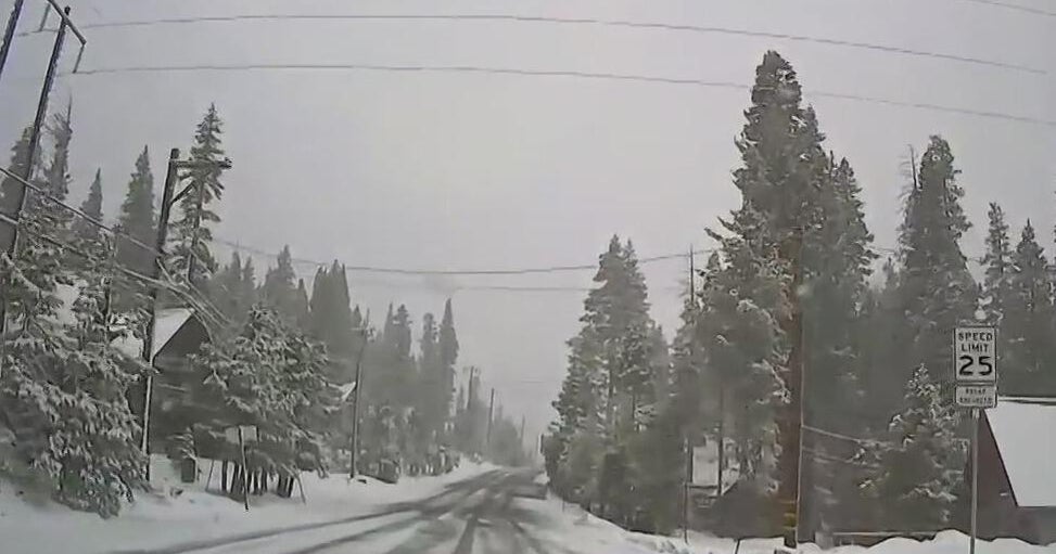
Wind is likely to be a bigger threat than Wednesday's storm. The strongest winds will occur Sunday morning and will be capable of significant tree damage with rain-saturated soils around the region.
The storm has additionally triggered warnings regarding dangerous surf conditions. The winds will help fuel large breaking waves as high as 25-35 feet.
San Francisco Peninsula
The National Weather Service is urging residents in San Mateo County to be aware and careful of downed trees, hazardous roads, power outages, high surf and flooding due to 50 miles per hour winds.
Local officials to warn residents to stock an emergency kit and sign up for emergency alerts. The National Weather Service says "heavy rain will runoff quickly," causing flooding in creeks and streams and "numerous shallow landslides."
Three inches of rain or more is expected in the coastal hills and winds as high as 50 mph. Severe weather in the area is prompting a region-wide flood watch today through Friday morning.
Residents are encouraged to sign up for SMC Alert, San Mateo County's primary alert and warning system.
Monterey Coast
The Monterey County Sheriff's Office issued evacuation warnings Saturday for areas of Carmel Valley and Salinas in anticipation of flooding from an expected storm.
The evacuation warnings became active at 1 p.m. Saturday and will remain in effect until further notice, the sheriff's office said.
The Carmel Valley area include Paso Honda, Camp Steffani and areas near Schulte Road. The Carmel River is expected to reach flood stage on Sunday, according to the sheriff's office.
"Those residents are being urged to remain on alert for any emergency notifications which may be needed and take advantage of special sand stockpiles which have been established for them," Maia Carroll, a county spokeswoman, said in a press release.
The stockpile was established at Garland Park for use to protect homes and property.
Additionally, damaging wind gusts of 75+ mph are likely for the Santa Lucia Mountains of Monterey County on Sunday. Widespread tree and power-line damage are expected.
In Salinas, the sheriff's office issued an evacuation warning for the northeast neighborhood of Bolsa Knolls.
Monterey County Public Works cleared culverts in the area, "but watershed and run off from nearby lands is still possible," Carroll said.
Jose Fabian contributed to this report.

