Katrina: Tracking the Course of a Killer Storm from Space
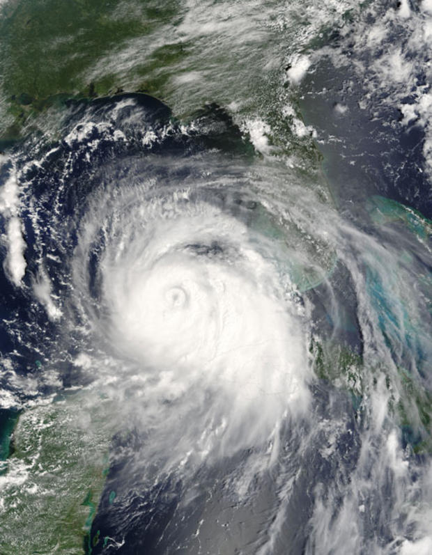
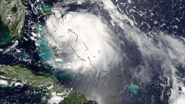
It barely been registered by meteorologists when something about Tropical Storm Katrina started to set off alarm bells.
As scientists pored over images from satellites in late August 2005, the storm began to pick up intensity. As Katrina slowly approached the south Florida coast, it was noticeable for the heavy rains and strong winds that it brought. With many Americans commemorating Hurricane Katrina this week, here's a look back at some of the images sent back by NASA satellites in the days leading up to the storm's assault on New Orleans and neighboring towns.