Here's how wildfire burn scars could intensify flooding as Tropical Storm Hilary hits California
Portions of the southwestern U.S. already dealing with the aftermath of wildfires could soon face life-threatening flooding from Tropical Storm Hilary.
The storm made landfall Sunday in the northern part of Mexico's Baja California and is expected to move north toward the southwestern U.S.
A tropical storm warning has been issued for southern California. Orange County sent an alert for anyone living in a wildfire burn scar in the Silverado and Williams canyons. Here's what to know about the dangers posed by burn scars during heavy rainfall.
What are burn scars and why do they increase the risk factor during heavy rain?
Wildfires have burned through millions of acres in the U.S. in recent years, leaving burn scars behind as lasting impact on the landscape. The fires consume vegetation and leave the landscape covered in soot, ash and charred stumps and stems.
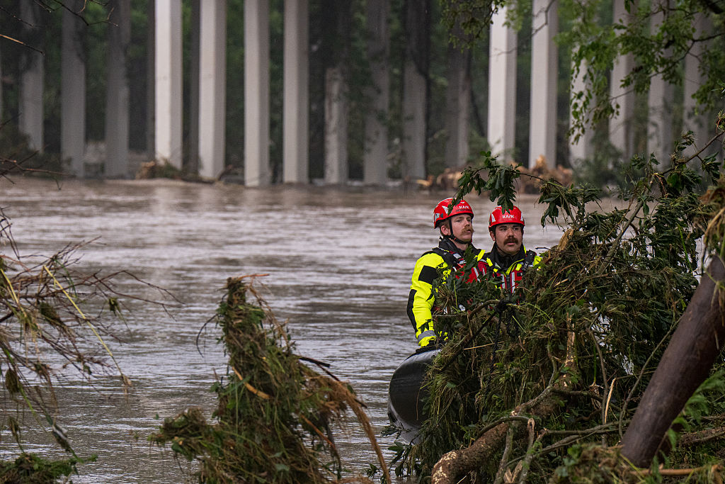
Areas downstream and downhill from burned areas are especially susceptible to flash flooding and debris flows, which are fast-moving, deadly landslides, according to weather experts.
Burned soil can be as water-repellant as pavement, which means water from heavy rain is likely to run off instead of being absorbed into the dirt. In these areas, a relatively smaller amount of rain can produce a flash flood.
"Water quickly collects. As it does, it can take down trees, rocks and mud, wreaking havoc down the slope," Dr. Matt Sitkowski, science editor-in-chief at The Weather Channel television network, said.
What are some of the biggest risks if you live near a burn scar?
In areas near burn scars, heavy rain can produce flash flooding and debris flows before a warning is issued. Debris flows are powerful mixtures of mud, rocks, boulders, entire trees and sometimes even homes or vehicles. Debris flows are unpredictable and can travel faster than people can run.
The flows can start on a dry slope after only a few minutes of intense rain, falling at a rate of about half an inch per hour. Parts of the region watching out for Hilary could see 2-4 inches of rainfall an hour this afternoon, especially over the mountains and towards the deserts, the National Weather Service out of San Diego warned. Further north in the Los Angeles region, weather officials have also advised people to move away from burn scar areas and toward higher ground.
How long after a burn scar forms will there be an elevated risk?
Most burn scar areas are prone to potential flash flooding and debris flow for at least two years after they form, according to the National Weather Service. The length of time it takes for vegetation to become re-established depends on the severity of the wildfire and how much erosion occurred.
"Each wildfire burn area poses its own unique risk of Flash Flooding due to many factors including proximity to population centers, burn severity, steepness of terrain, and size of the burned area," according to the National Weather Service.
What should people who live near a burn scar do to prepare?
Experts advise having an evacuation route planned that is least likely to be impacted by flash flooding and debris flows. People living in these areas should have an emergency supply kit available. Residents should stay informed and shouldn't wait for a warning to evacuate if heavy rain develops. Those caught in a flash flood or debris flow should call 911.
"If you stay at home, that won't protect your property but will endanger you," the National Weather Service warns. "If you are told to evacuate, leave. That is the only sure way to protect your life from a debris flow is to avoid being in one."
Residents, even those not in the immediate vicinity of a burn scar, could face power outages or closed roads if there's significant debris flow, Sitkowski said.
Tracking Tropical Storm Hilary
The National Weather Center has warned that swathes of the southwestern U.S. could face a "potentially historic amount of rainfall" Sunday into Monday along with "life-threatening to locally catastrophic flash, urban, and arroyo flooding including landslides, mudslides and debris flows through early Monday morning."
Rainfall amounts of 3 to 6 inches, with isolated maximums of 10 inches, are expected across parts of southern California and southern Nevada. Tornadoes are also possible through Sunday evening over southeast California, western Arizona, southern Nevada, and far southwest Utah.


