Possibility of lingering showers remain as storm continues to move out of Southern California
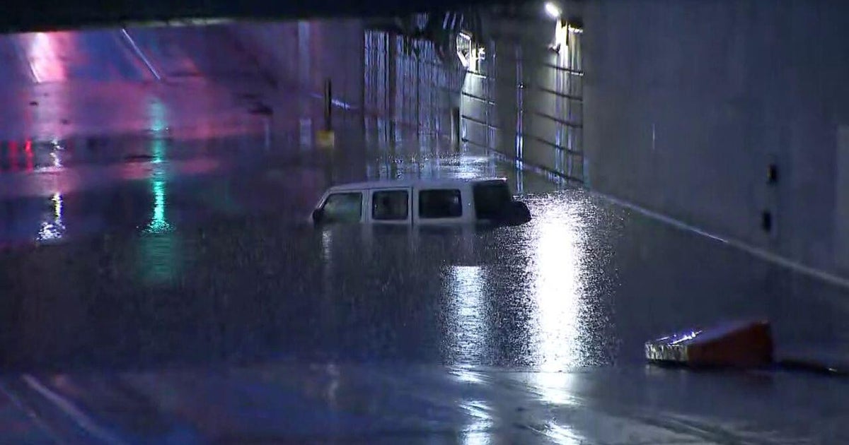
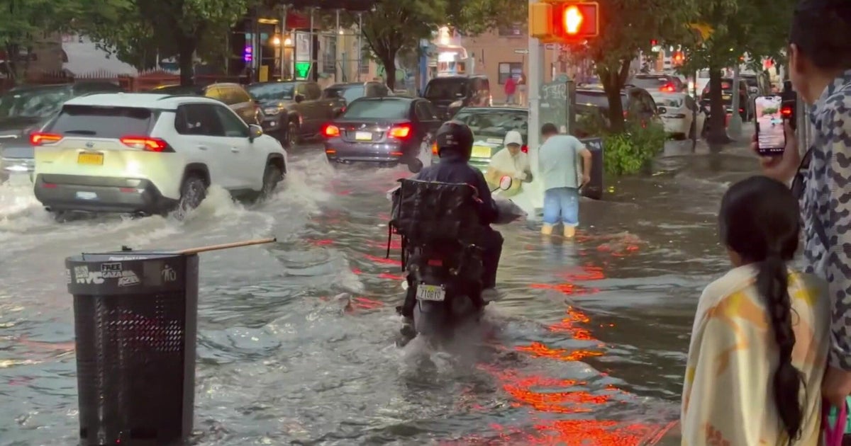
The storm that brought heavy rainfall and flooding to some Southern California communities has made most of its way out of the region on Wednesday morning.
The rain also caused unsafe driving conditions on many streets and freeways, leading to many crashes.
As the storm continued to move east, officials lifted several evacuation warnings in burn scar areas. The National Weather Service said the Palisades Fire area received about a half-inch to two-thirds of an inch of rain.
Areas in the Los Angeles County mountains and foothills received more than two inches of precipitation, while areas in the metropolitan area received between an inch and an inch and a half.
Even though the storm has mainly cleared, weather officials said lingering showers should not be ruled out. A CBS LA Next Weather Alert remains in effect through the late morning for much of Southern California.
Conditions are expected to dry throughout the day, but temperatures will remain below average. The NWS said highs in most areas will be 8 to 16 degrees below normal.
A warming trend is expected to develop heading into the weekend, with temperatures returning to normal.