WEATHER BLOG: Sunday
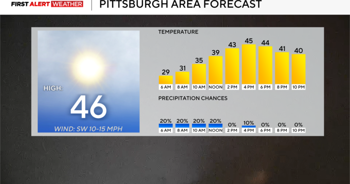
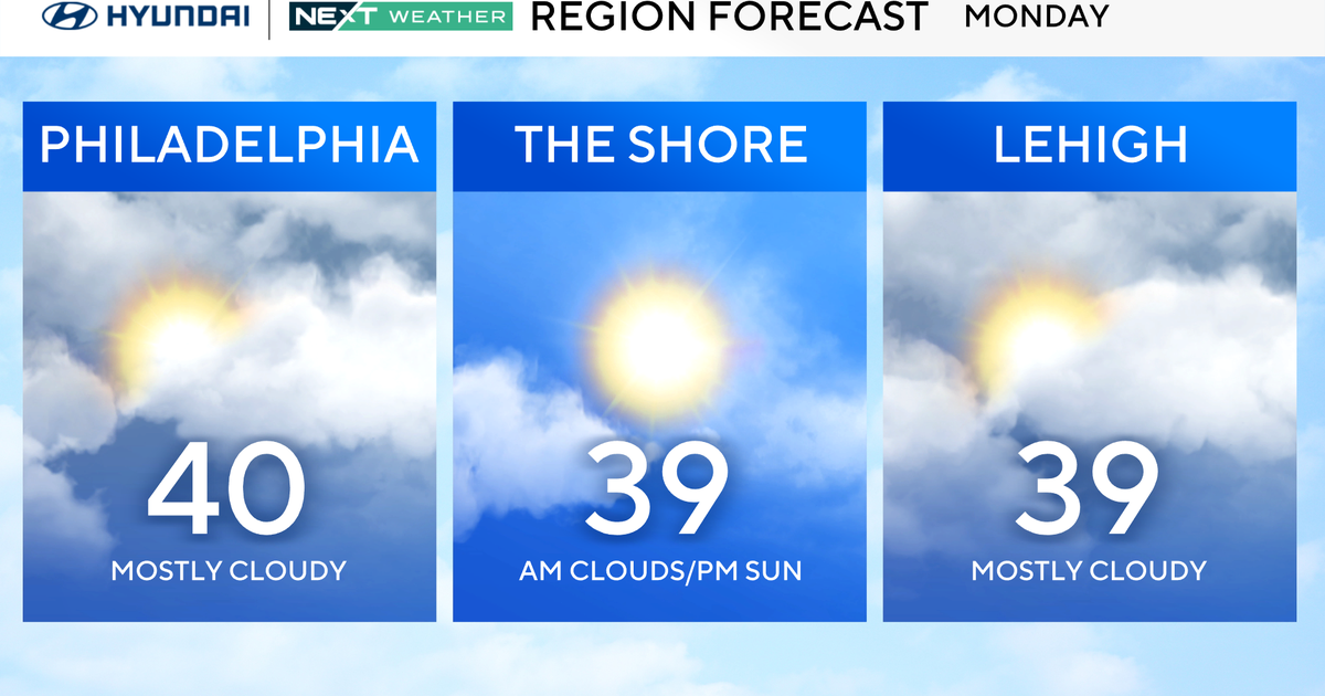
High pressure will continue to move into the Ohio Valley, but it is a dirty high with a lot of cloud cover We will see similar temperatures today with highs in the middle 40s with clouds and sun. With the high pressure still back in the Ohio Valley we will continue to see northwest flow. Tonight we will just have patchy clouds with temperatures dropping to around the freezing mark. Tomorrow the high pressure will move off to our south which will relax our flow and allow for less mixing. Our high temperatures will level out around the same as today. Tuesday high pressure will slide off the east coast as a low pressure system moves into the Great Lakes. This will bring a cold front move through the Ohio Valley. Ahead of the cold front we will see an area of showers move into the I-95 corridor by the afternoon and evening hours. The morning will be dry and the showers will move in from west to east. We will have southerly winds but we will not be able to mix fully out the warm air aloft. This will allow for temperatures to climb only a few degrees warmer than the previous too. The showers will last into the first half of the night as the cold front passes through. We are looking between 0.05-0.15 inches of rain, so not a heavy rain event by any means. Once the cold front moves through we will be able to mix the warm air aloft down to the surface. This is going to allow for Wednesday to be the warmest day of the week even though we are post frontal. High temperatures will be approaching 50 degrees.
Track weather using our CBSBaltimore Weather App!
