Maryland Weather: Rain showers roll in Sunday afternoon
Welcome to Sunday Funday! Today we started out as comfortable as yesterday was. But through this day we will see clouds stream in and thicken. And then we will see rain enter the area.
Our future cast shows, by mid-afternoon, rain approaching from the West. By dinner showers around, and by an early bedtime some heavier pockets of rain sliding by. Some computer estimates show some of you receiving up to 0.50 inches of rain. Indeed some heavy pockets of rain, and maybe a couple of thunderstorms will be a part of our night's outlook.
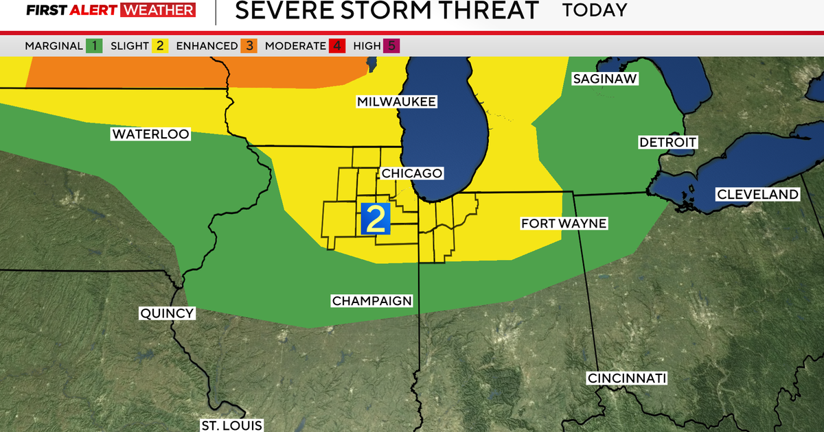
The Storm Prediction Center has us in only a "general risk" of severe weather this day and night.
The reason for the clouds, rain, and thunderstorms, is the cold front that came through on Friday lifting back North as a warm front. (Almost the exact same scenario which occurred last weekend and led to the hot and steamy days we had on our plate last week.) There is a large pool of hot and very humid air poised to make a run at us before not too long. The words "steamy", and "rather humid", appear more than a couple of times in our outlook for next week, the first few day's of August. And daytime highs will again return to the mid to upper 90's.
So mentally prepare for another long weather week. And we will also monitor for you a couple of day's where thunderstorms will be popping up in the forecast. As of now, nothing sever is expected, but with the atmosphere becoming so unstable we really need to keep a close eye on the potential for severe weather.
Marty B!


