BLOG: Hello Spring
Spring officially arrived at 1:14 a.m. Tuesday is called the Vernal Equinox. That is when the Earth is balanced on its axis so that the poles are equidistant from the sun, giving both sides of the globe equal sunlight. This also marks the flip to fall in the southern hemisphere.
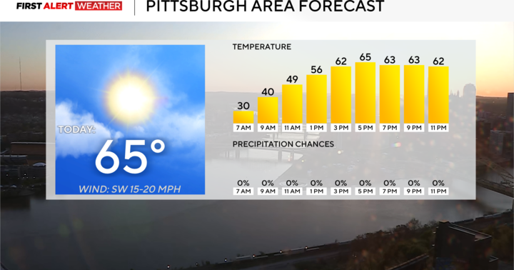
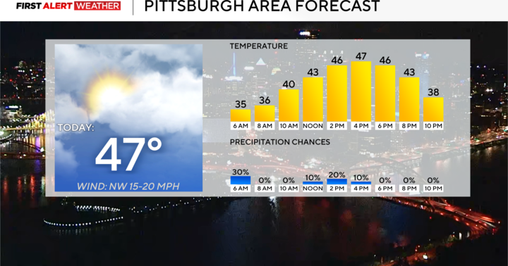
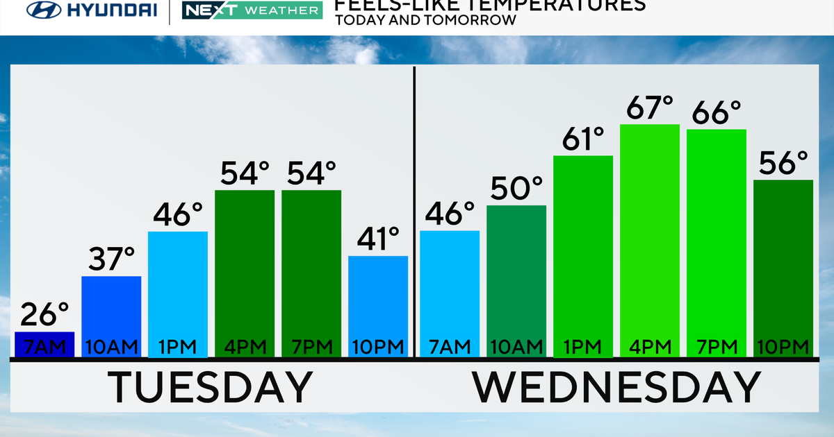
For us, it feels like spring has already been here for weeks. Our high temperatures have been running above average all but three days this month, and in some cases 20-30 degrees above average. The normal high for today is still only 55 degrees, and we are starting out the day already above that number. This trend is going to continue. Even when we cool down this weekend, temperatures will still be at or above average.
There is some serious weather happening farther west. A huge storm has settled into the interior West, bringing cold air and snow all the way down to Arizona and New Mexico. The leading edge of this stalled storm has produced a few rounds of severe weather from Texas up into the Midwest. Even with the main storms locked up over the West, a few pieces of energy have been breaking off and drifting farther east. These aren't big, organized storms, but enough to produce rounds of scattered showers and thunderstorms like we saw Tuesday morning and will see on and off for the next few days. This locked weather pattern is also responsible for pumping up all of the warmth over the East.
Later this week, the weather pattern will start moving again. Temperatures around here will go up to near 80 degrees Thursday and Friday before the western storm moves our way this weekend. It will increase our chances and coverage for rain and maybe some thunderstorms later Friday into the weekend. It will also knock temperatures back down again. Like we said earlier, our cooldown will still feature temperatures in the low 60s.
