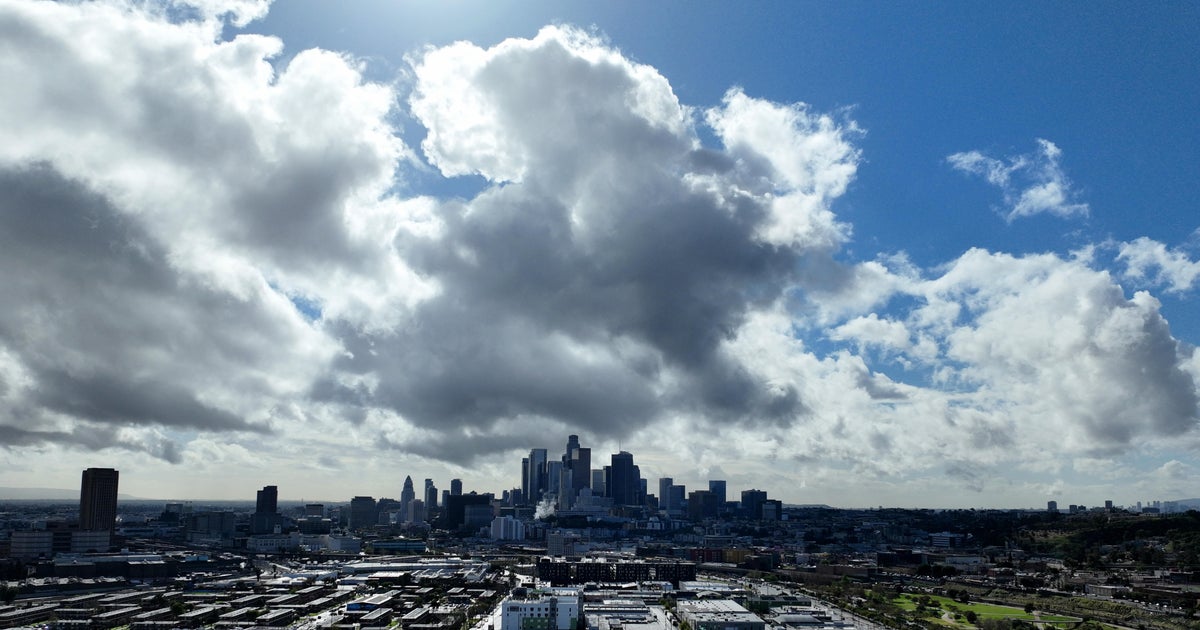
Storm system dumps latest round of rain on Bay Area; Scattered showers continue
SAN FRANCISCO -- A cold front moved inland Saturday night into Sunday morning that brought periods of heavy rain to the Bay Area, with more scattered showers expected through the day.
The cold front also brought wind gusts of 25-35 mph with localized gusts ranging from 35-50 mph.
Nearly 4,500 PG&E customers were without power late Saturday evening due to high winds resulting from the rainstorm passing through the Bay Area.
Most of the outages are in San Mateo and Santa Clara counties.
The storm system brought some intense downpours that moved into San Francisco at around midnight and continued periodically through dawn.
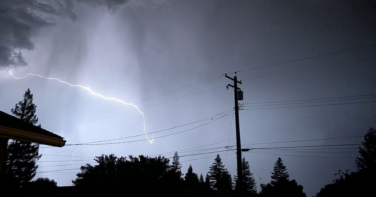
While the region can expect plenty of breaks with blue sky on Sunday, showers will develop and move through with some isolated thunderstorms bringing brief downpours.
Sunday night calls for decreasing clouds and clear skies with lows in the lower 40s and 30s.
The city of San Francisco reached its full season of rainfall Saturday afternoon, according to a noted and respected Bay Area meteorologist.
As of 2 p.m. Saturday, San Francisco received its full season's worth of rainfall, Jan Null, a certified consulting meteorologist with Golden Gate Weather Services, said Saturday night.
Null said San Francisco has received 22.89" of rainfall during the current season, which ends June 30. This equals the city's full season of normal rainfall.
The winter season has been one of the rainiest seasons on record.
