First Alert Weather: Spring Storm Soaks Bay Area Roadways For Morning Commute
SAN FRANCISCO (CBS SF) -- Bay Area residents woke to the heaviest precipitation the region has experienced in recent memory Thursday morning as the leading edge of a potent spring storm dumped another round of rain expected to continue into Friday.
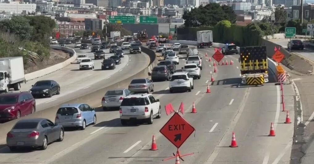
The heavy rainfall began shortly after 4 a.m., soaking roadways at the start of Thursday morning's commute. There were some early reports of flooding on the eastbound approach to the Bay Bridge near the Fremont Street exit.
The early morning storm cell provided some impressive rain totals Thursday morning, with Ben Lomond receiving almost an inch and a half of rain in the past 24 hours. Mount Diablo received just over an inch, while Danville got .84 inches. Redwood City received .59 inches and San Francisco got just over a third of an inch.
The rain will wet the roads through the morning commute as the next front drifts southward. The steady rains for most of the day should be focused south of the Golden Gate, favoring the coastal slopes of San Mateo and Santa Cruz counties as well as into the East Bay.
The rain started in some parts of the Bay Area Wednesday afternoon, but a good portion of the region had only received trace precipitation as of late Wednesday night. However, some of the higher elevations on the peninsula and the East Bay interior received more than a half-inch.
The National Weather Service issued maps on social media that show hilly regions along Interstate Highway 280 west of Redwood City and Palo Alto have received .56 and .67 of an inch, respectively.
In the East Bay, the highest totals thus far are .48 of an inch in Danville and .42 of an inch in Lafayette.
KPIX 5 First Alert Meteorologist Paul Heggen said rumble or two of thunder will be possible, but the better chance of thunderstorms will develop from late morning through the afternoon and evening.
Cloud-to-ground lightning and small hail -- which also could make roads slick -- are the main threats with those storms.
The Santa Rosa Fire Department tweeted a warning about the potential for "pea- to marble-size hail" on Thursday into the evening hours.
The National Weather Service also issued a warning to the public about the danger the tempest will pose on the coast.
Sneaker waves and strong rip currents are part of a beach hazards statement in effect from 3 a.m. Thursday until 3 a.m. Saturday for virtually the entire coastline from northern Sonoma County south to Big Sur.
Northwest swells are expected about 12 feet at 18-20 seconds early Thursday and 3-4 seconds more frequent from Thursday through early Saturday.
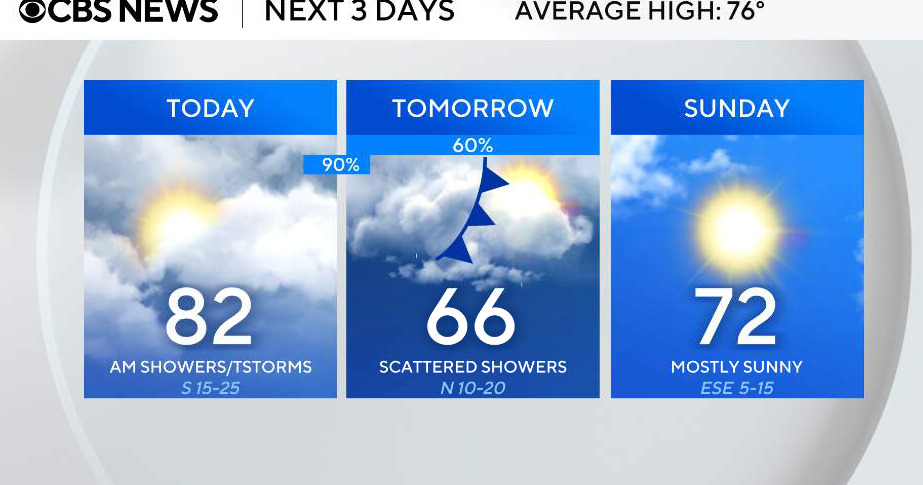
The scattered showers and stormy weather will continue Thursday night, winding down to some lingering showers by Friday morning, drying out by Friday afternoon.
Temperatures will warm up over the weekend; by Sunday we'll approach 70° by the coast and close to 80° inland.
