Cal Fire updating its fire hazard severity zones map
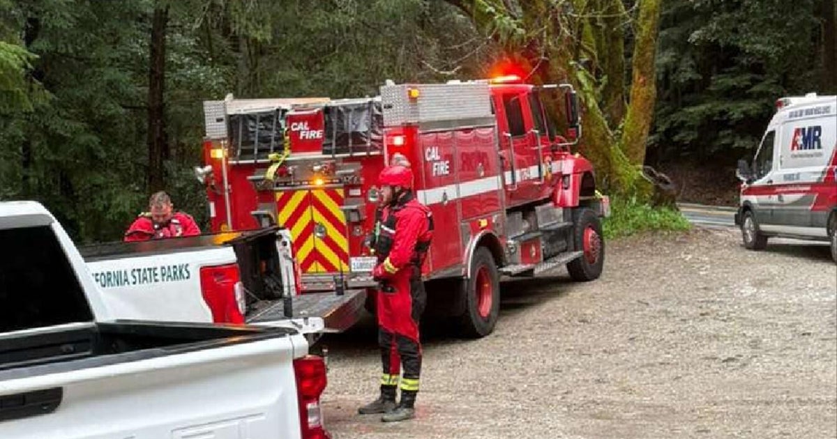
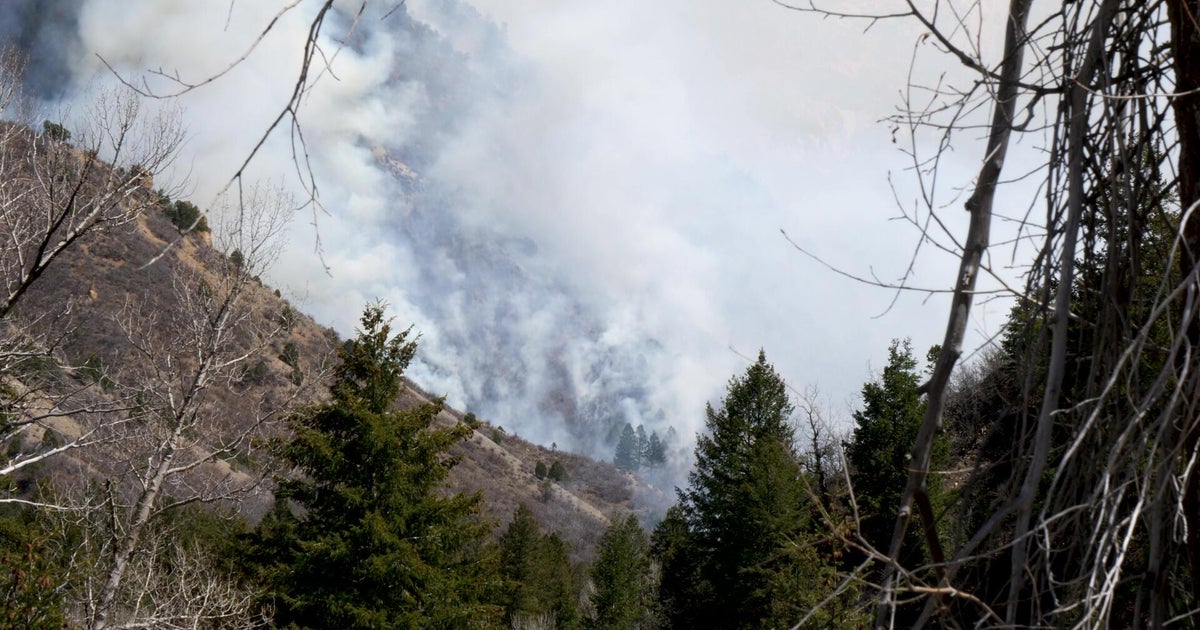
SANTA CRUZ MOUNTAINS - Cal Fire is busy identifying the areas statewide that are most vulnerable to severe wildfires, updating the agency's fire hazard severity zones map for the first time since 2007.
"All of the fire history that we've been able to collect over the last five years will be plugged into our 100 years of fire data to help us better and more accurately depict an area's hazard," says Cal Fire Deputy Chief Daniel Berlant.
The new map, likely to be released in the Fall, will be a road map of risk, plotting the areas where the threat of severe wildfire is the greatest. It will likely have wide-ranging implications for where Cal Fire positioned firefighters and equipment and could shape land use decision about where and if new housing is built.
"Year after year, it definitely seems like the risk is going up -- a little bit more, a little bit more," says homeowner Amanda Follmar.
Follmar and her family live near the Santa Cruz Mountains and do what they can to minimize the risk of wildfire to their property. She hopes the new fire map will help Cal Fire chart a course to be better prepared to respond to wildfire threats.
"Year after year, it definitely seems like the risk is going up -- a little bit more, a little bit more," she said.
Cal Fire says the areas of greatest concern and highest risk are likely to expand on the new map as a result of a deepening drought and warming planet.
"There has been a change in our climate, especially in the last couple of years. We've been seeing more often significant extreme wind events. And it's that latest weather that we're building into the current model," Deputy Chief Berlant said.
