Pilot Program To Curb Waze Traffic On Side Streets Approved By LA City Council
LOS ANGELES (CBSLA) — With mobile traffic applications such as Waze causing a flood of traffic on tiny side streets, the Los Angeles City Council Tuesday approved a pilot program to restrict the routing of vehicles onto certain streets as a condition of entering into data-sharing agreements with developers of mobile mapping applications.
"There are tremendous advantages to apps like Waze,'' Councilman Paul Krekorian said last year when discussing his motion that led to Tuesday's 12-0 vote to create the pilot. "They can make driving more efficient, but with every technological advance, any consequences that arise must be taken into account.''
He added that the city "will have the go-ahead to start a dialogue with these tech companies to see if they will work more closely with us to reduce the impact their apps are having on small residential streets and increase the level of traffic safety in our neighborhoods.''
Los Angeles had a data-sharing agreement with Waze from 2015 through 2017.
Last year, CBS News and CBS Los Angeles reported on the problems that GPS apps such as Waze were creating in LA and other cities across the country.
Baxter Street in Echo Park is a big trouble spot as apps like Waze send drivers to the steep residential street.
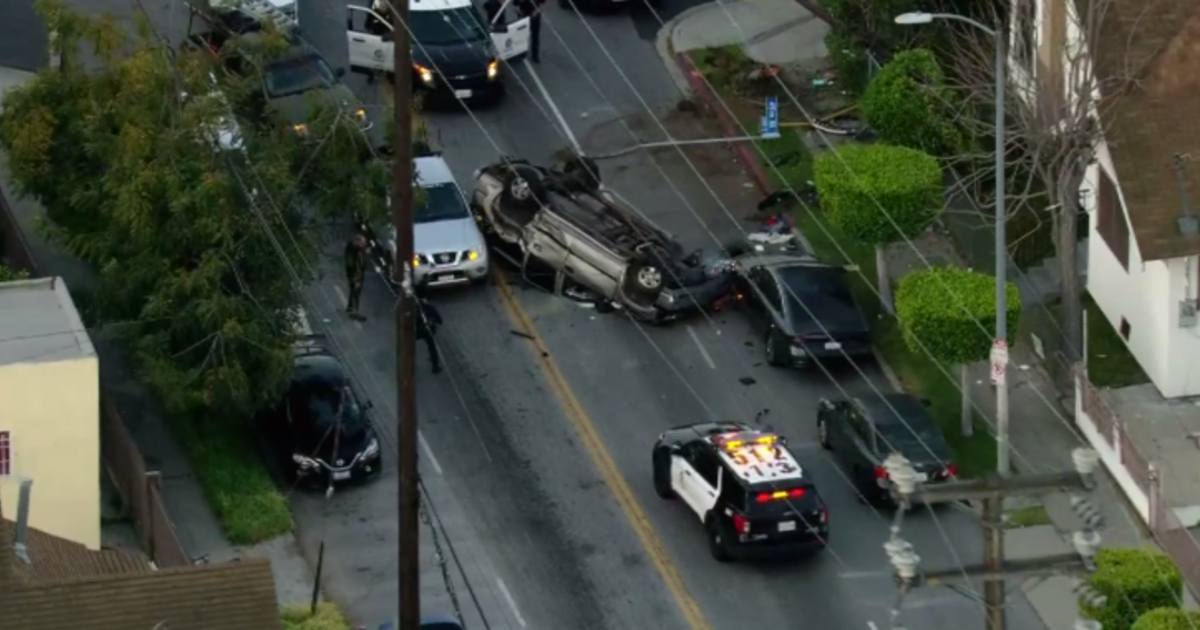
The 30 percent grade is one of the steepest streets in the country -- even steeper than San Francisco's world-famous Lombard Street. This has caused a number of accidents and residents are fed up. Now the city council is taking action.
(© Copyright 2018 CBS Broadcasting Inc. All Rights Reserved. City News Service contributed to this report.)


