More rain, snow on the way with yet another atmospheric river arriving this week
Yet another storm arriving in the Southland saw light rain already reaching some areas late Sunday afternoon.
Precipitation is expected to intensify early in the week before dying down Wednesday evening. There are scattered showers across the Southland Monday morning. The heaviest rain is expected Monday night and into early Tuesday morning, lasting through Wednesday.
Despite Monday being the first official day of spring, more winter weather is expected to result in heavy rain, strong winds and snow in the mountains, according to the National Weather Service.
Anywhere between 1 to 2 inches of rain are expected along coasts and valleys, with 2 to 4 inches expected in the mountains.
"Tuesday to Tuesday night there is a slight risk (15-40 percent chance) for excessive rainfall and a flash flooding along and west of the mountains with a marginal risk (5-15 percent chance) of flash flooding for our deserts," the NWS Los Angeles said on Twitter. "Mainly snow is expected at higher mountain elevations."
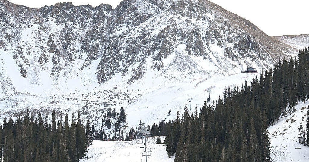
Snow levels could drop to 3,000 feet Tuesday evening, meaning some major mountain passes could see up to 2 inches of accumulating snow.
While most of the Southland saw weather in the 70s over the weekend, the storm will bring colder temperatures, with many daytime highs dropping into the 50s on Tuesday and Wednesday.
