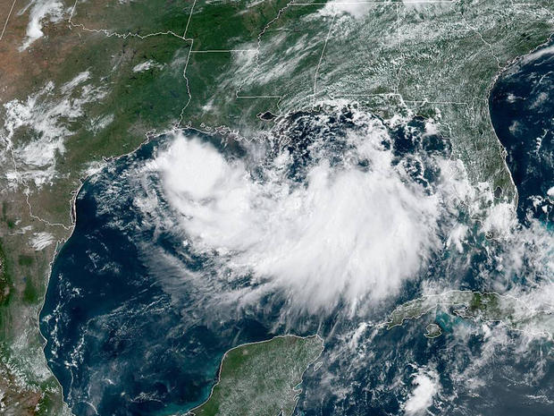
Tropical Storm Barry forms in Gulf of Mexico and threatens to hit U.S. as a hurricane
Tropical Storm Barry formed off the coast of Louisiana on Thursday and threatened to blow ashore as a hurricane with drenching rains that could test the flood-control improvements made in New Orleans since Hurricane Katrina 14 years ago. Forecasters said the first hurricane of the Atlantic season could hit the state's swampy southern tip on Friday, with the biggest danger posed not by the wind but by downpours that could go on for hours.
The storm presents twin troubles for parts of southeast Louisiana - the possibility that a high Mississippi River will be lapping at the tops of levees this weekend, and a danger of flash floods like the one that unexpectedly walloped New Orleans on Wednesday.
A line of thunderstorms ahead of storm dumped as much as 8 inches of rain in parts of the metropolitan area in a three-hour span. The storm was expected to strengthen and could become a hurricane late Friday or early Saturday, according to the National Hurricane Center.
The hurricane center said as much as 20 inches of rain could fall in parts of eastern Louisiana, including Baton Rouge, and the entire region could get as much as 10 inches. New Orleans could receive 10 inches, forecasters said.
The storm's surge also could prevent water from emptying out of the already-swollen Mississippi River, possibly sending water over levees near New Orleans, forecasters said. The river has been running high for months.
As of 2 p.m. ET Thursday, Barry was some 90 miles south of the mouth of the Mississippi moving west at 5 mph with 40 mph maximum sustained winds, according to the hurricane center.
A hurricane watch was in effect for the Louisiana coast from the mouth of the Mississippi to Cameron.
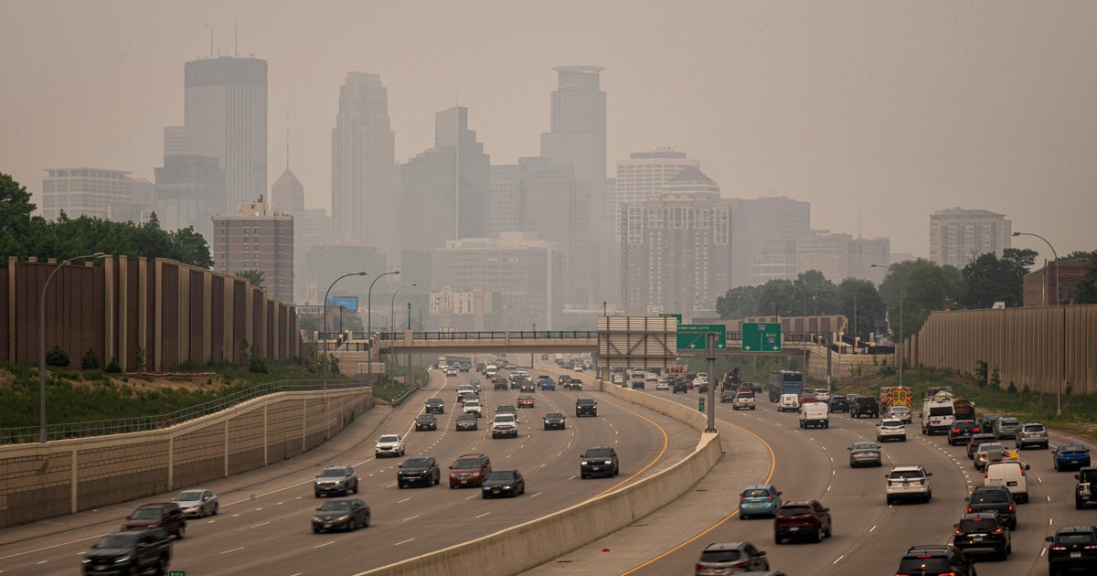
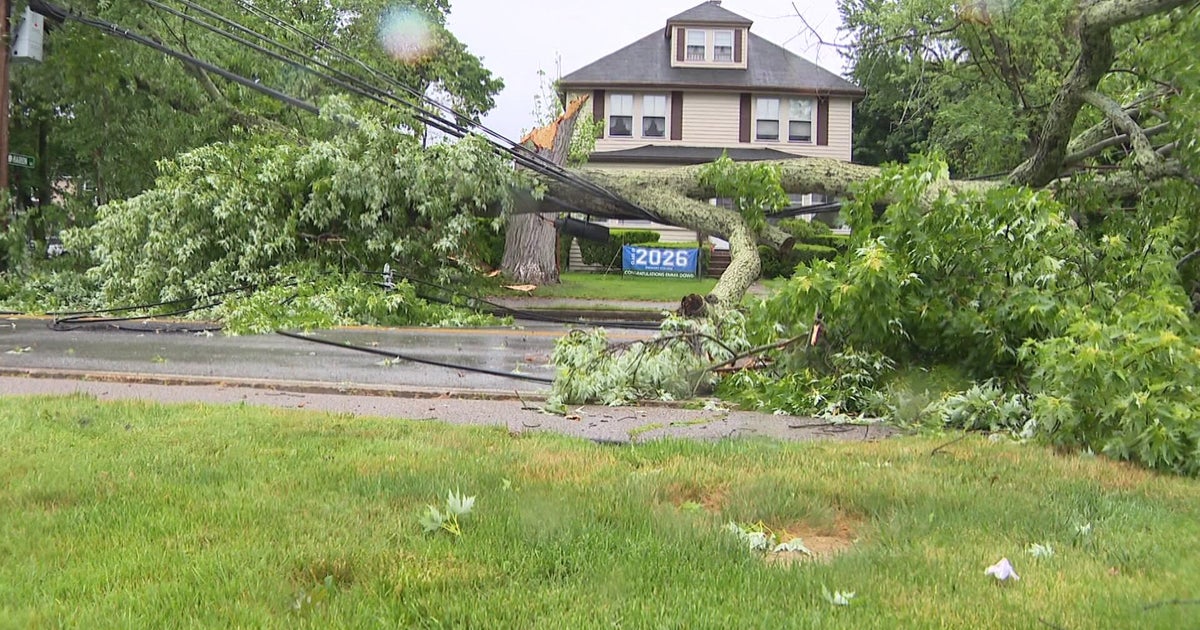
New Orleans got an early taste Wednesday of what may be in store. News outlets said a tornado may have been responsible for wind damage to one home, while floodwaters invaded some downtown hotels and businesses as streets became small rivers that accommodated kayakers. The floods paralyzed rush-hour traffic and stalled cars around the city.
It all happened fast
"I must have got to work about a quarter to 7," said Donald Smith, who saw his restaurant on Basin Street flood for the third time this year. "By 7:15, water was everywhere."
It brought memories of a 2017 flash flood that exposed major problems - and led to major personnel changes - at the Sewerage and Water Board, which oversees street drainage. City officials said the pumping system that drains streets was at full capacity. But the immense amount of rain in three hours would overwhelm any system, said Sewerage and Water Board director Ghassan Korban.
Threats of a high Mississippi prompted officials in Plaquemines Parish at Louisiana's southeastern tip to order evacuations of some areas to begin Thursday. A voluntary evacuation was called on Grand Isle, the vulnerable barrier island community south of New Orleans. Gov. John Bel Edwards declared a statewide emergency in light of the gathering storm.
Fretting about levees
A spokesman for the Army Corps of Engineers in New Orleans said the agency wasn't expecting widespread overtopping of the levees, but there are concerns for areas south of the city. The weather service expects the river to rise to 20 feet by Saturday morning at a key gauge in the New Orleans area, which is protected by levees 20 to 25 feet high. That would be its highest level there in nearly 70 years, CBS New Orleans affiliate WWL-TV reports.
The Corps was working with local officials down river to identify any low-lying areas and reinforce them, spokesman Ricky Boyett said. He cautioned that the situation may change as more information arrives.
"We're confident the levees themselves are in good shape. The big focus is height," Boyett said.
Edwards said National Guard troops and high-water vehicles would be positioned all over the state in advance of more heavy rain.
"The entire coast of Louisiana is at play in this storm," the governor said.
New Orleans officials have asked residents to keep at least three days of supplies on hand and to keep their neighborhood storm drains clear so water can move quickly.
As the water from Wednesday morning's storms receded, people worried about what might come next.
Tanya Gulliver-Garcia was trying to make her way home during the deluge. Flooded streets turned a 15-minute drive into an ordeal lasting more than two hours.
"This is going to be a slow storm. ... That's what I'm concerned about," she said.
Tourists Floyd and Missy Martin of Raleigh, North Carolina, were trying to make the best of it at a store with puddles on the floor where they were buying an umbrella, two bottles of merlot, chips and peanuts.
"We could drown out our sorrows or make an adventure of it," Floyd Martin joked.