Pittsburgh Weather: Dry Weather To Take Over (For Now) After Track Change Brings Snow To Region
By: Kristin Emery/Ron Smiley/KDKA-TV News Staff
PITTSBURGH (KDKA) -- Western Pennsylvania was blanketed with snow early this morning, and we're likely going to see more of it to start the upcoming weekend.
Alert: First Alert Weather will be dropped as of 4 p.m.; however, another First Alert Day is still on tap for Saturday with accumulating snow.
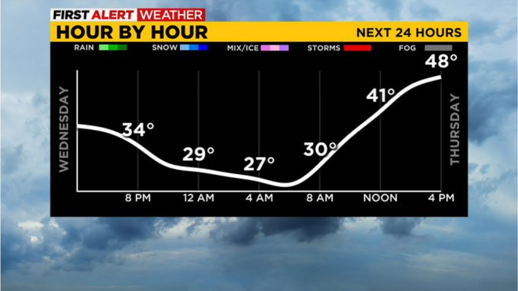
Aware: Snow/rain showers will taper off through the afternoon and be all but out of here by 2-3 p.m. Dry weather next two days.
Rain and snow are tapering off this afternoon and moving east. Most areas should be dry by around 2-3 p.m. with the Laurels still having a few flurries/rain showers through 4 p.m.
Dry weather takes over until late night on Friday, and temperatures rebound into the upper 30s today and 40s the next two days.
Our focus then turns to Saturday for another First Alert Weather day with snow anticipated. It is looking like it could start as a quick burst of rain late night Friday, after midnight, and change to snow through the night. Current thinking is a couple of inches, 2-4ish in Pittsburgh, with higher totals north and in the Laurels, and lower amounts south.
We are watching the models and the track of the system and will hone in on snow forecast amounts over the next 24 hours. The St. Patrick's Day Parade will likely be marched on snowy streets with snow showers during the festivities, so dress and plan accordingly.
Are you headed out to the St. Patrick's Day Parade Saturday in Downtown Pitt? It starts at 10 AM, but be prepared for some more winter weather as it is a First Alert Weather Day! Bring your snow gear and hot drinks????❄️ #pawx @KDKA pic.twitter.com/WvwMpBrmlw
— Falicia Woody (@WxFalicia) March 9, 2022
As for getting more snow than expected this morning, KDKA's Ron Smiley takes a look at what changed the track so suddenly.
Let's start with what was supposed to occur.
The set-up for the past couple of days has shown a mid-level low moving in from the Gulf of Mexico. Lows that come in from the Gulf of Mexico are typically moisture rich. Meaning that from the surface to the mid levels of the atmosphere, we see high humidity levels. These lows are common at this time of the year. The hardest thing about these lows is the exact track. Even a difference of 20 miles can be such a big swing in who sees the rain and who sees all snow. This was the case Wednesday morning as the track of warm air stayed well south of I-70.
WEATHER LINKS:
Current Conditions | School Delays & Closings | Local Radar | Weather App | Photos
The difference in the track was significant this morning. Normally, especially earlier in the cold season, the push of warmer air wins out and you often times see rain instead of snow.
Interestingly, Smiley is also looking closely at the expected snow for Saturday. It could go the other way and be a bust when it comes to expected snow totals. The snow is expected to develop on a north to south facing cold front, a setup that normally doesn't bring a lot of snow along a digging trough of colder air. Model data has been as consistent with Saturday's snow as it was with today's snow chance. It's just another day of forecasting here in Western Pennsylvania.
Nothing, even the supposedly sure things, are ever guaranteed.
Stay up to date with the KDKA app, which you can download here.