Minnesota Weather: Another Chance At Scattered Rainfall Sunday
MINNEAPOLIS (WCCO) -- Parts of Minnesota will have another chance to pick up some much-needed rainfall Sunday.
Showers moved through the Twin Cities in the morning hours. Through Sunday afternoon, scattered rainfall is expected.
"We're not totally out of the woods, really at any point today, for a little wet weather," WCCO Meteorologist Mike Augustyniak said.
An area of low pressure in western Minnesota will move parallel to the Minnesota River valley, which will give the southern part of the state a chance at having isolated to widely scattered shower and thunder shower activity throughout the day.
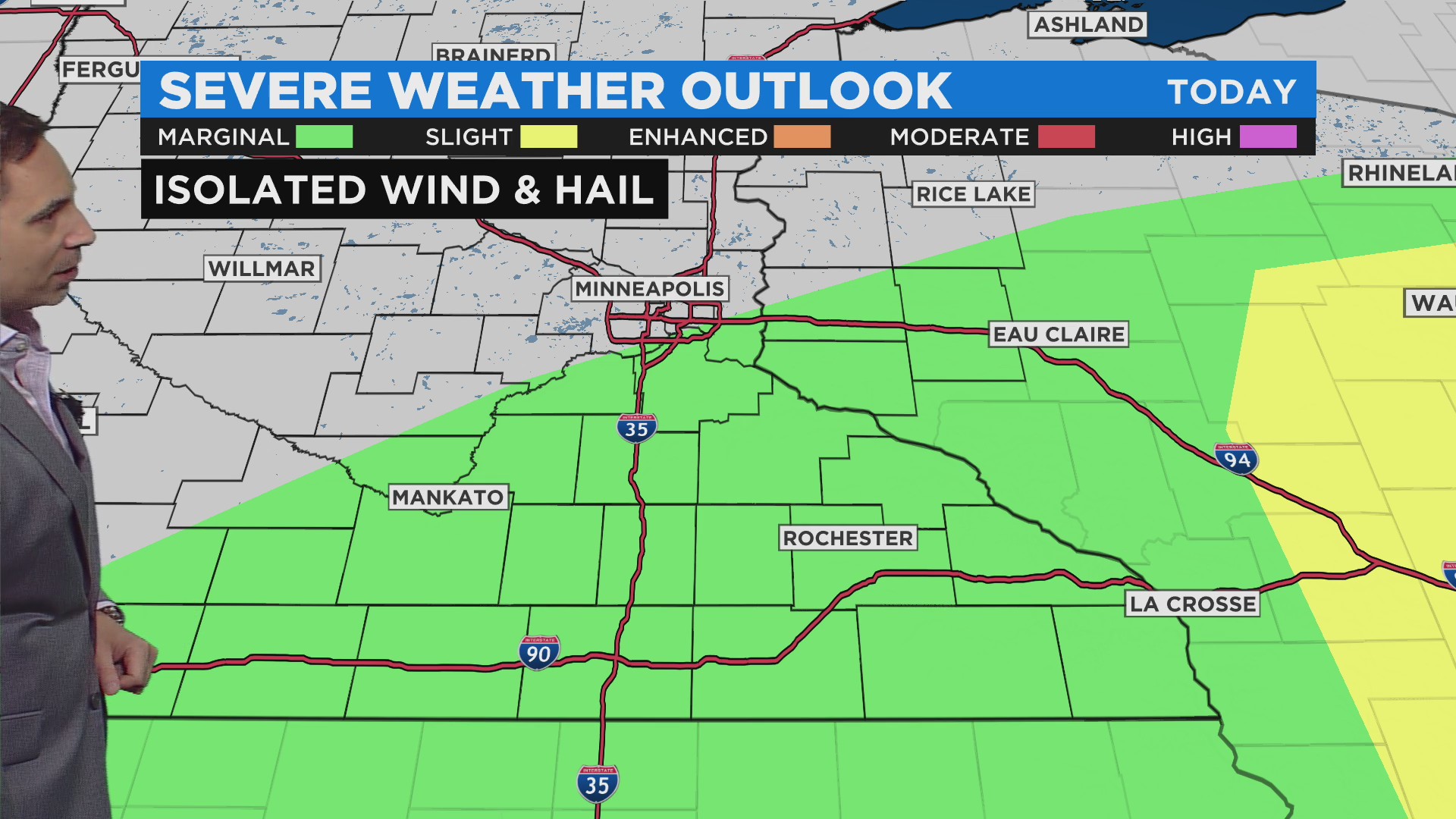
There is a marginal risk for severe weather south and east of the Twin Cities through southern Minnesota.
Northern Minnesota isn't likely to see precipitation.
The high temperature in the Twin Cities will be around 83. The dew point will hover around 70.
Monday and Tuesday will be hot, with temperatures in the low 90s, but a cooldown is expected after that. There will be another chance for isolated storms on Tuesday.