Frigid Air Followed By A Brief Thaw
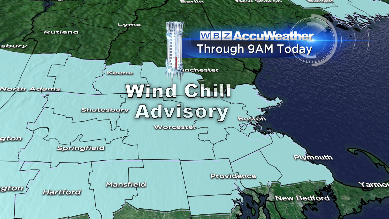
It's a bitterly cold start out there – record cold for some in fact. Windsor Locks, CT dropped to -9 this morning breaking the old record of -7 from 1981. While the wind is calm for some communities this morning, it's blowing 5-10 mph for others, adding an extra bite to the air. A wind chill advisory is posted until 9 AM for wind chills as low as 24 BELOW zero.
Frostbite can develop in as little as 30 minutes in these conditions, so if you have to be outside, be sure to wear layers and cover up exposed skin.
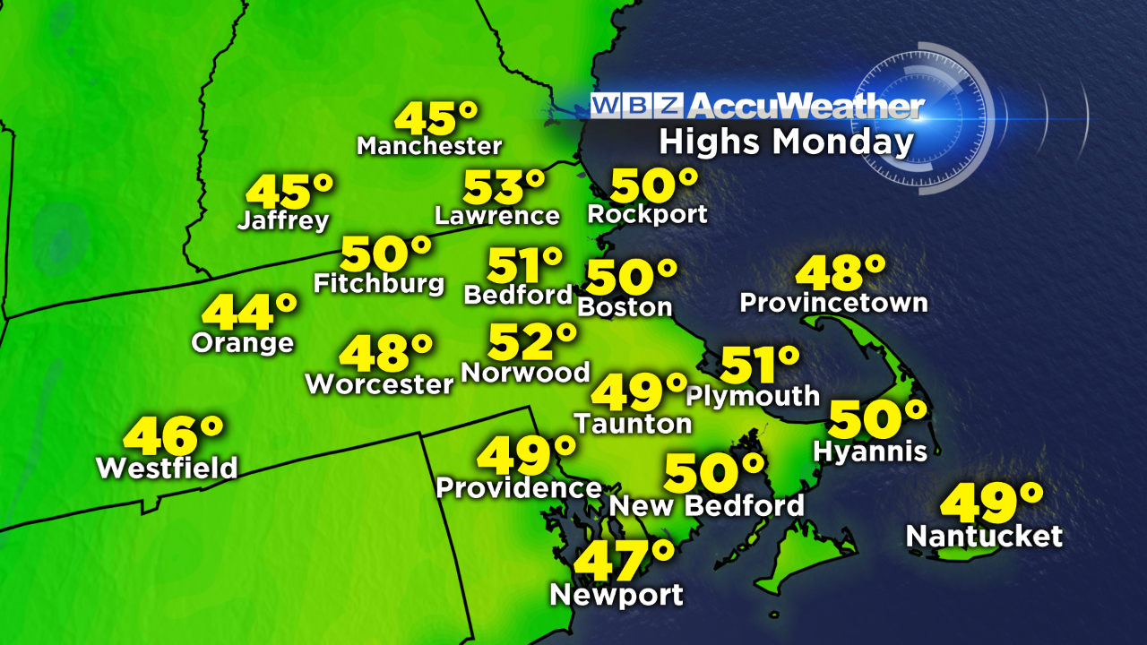
We'll make a gradual rebound this afternoon – into the mid 20s under a blend of sun and clouds. Tomorrow will feel downright balmy as we rise to around 40. Clouds will win the battle of the skies…but they represent even milder air on the way. Ahead of a cold front on Monday, temperatures will rise to around 50 in the morning!
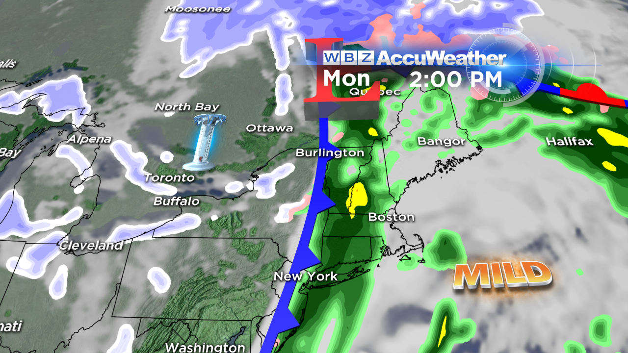
This thaw will be shortlived. Scattered showers Monday AM will turn to a period of rain during the afternoon…and this moisture marks the leading edge of ANOTHER blast of frigid air.
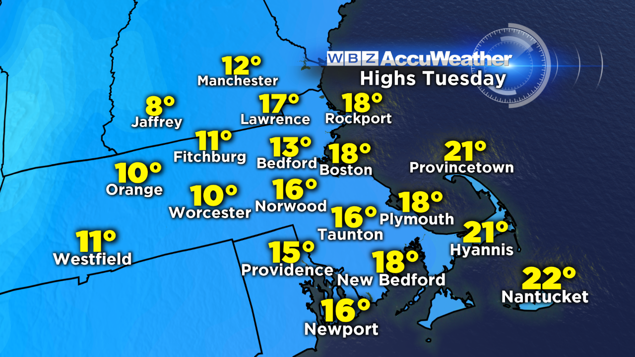
The cold may come in just fast enough to change the rain to snow on the tail end, bringing a coating to a few communities Monday evening. High temperatures Tuesday will only be in the teens.
Up & down go our temperatures…gotta love New England!
Stay warm –
Danielle