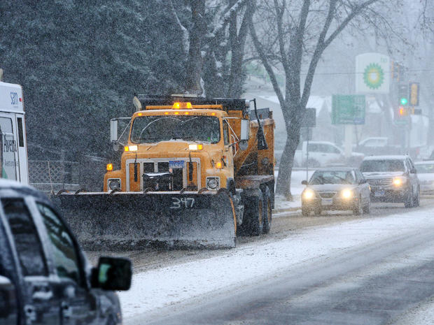
Parts of Midwest see first snowstorm of the season
PIERRE, S.D. -- The first significant wintry storm of the season began making its way across the northern Plains and Upper Midwest on Friday, leading to slick roads in some areas.
Millions of people will feel the effects -- to varying degrees -- of the storm, which was forecast to bring up to a foot of snow to some areas.
Iowa and northern Illinois were bracing for some of the largest snow totals, as the storm began moving into those states Friday evening.
The Illinois Department of Transportation reported Friday night that snow and ice was covering some roads in the northwestern part of the state, including parts of U.S. Highway 20.
CBS affiliate WBBM reported the heaviest snowfall was expected to be north of Interstate 80, with six to eight inches possible in some western and northern suburbs and eight to ten inches possible in some areas such as Rockford, Waukegan and DeKalb.
Accumulations across northwestern Cook County could be between four and eight inches, according to the National Weather Service. Chicago, the southern and southwestern suburbs, and Indiana's lakefront are likely to see two to five inches, while most of the rest of northwest Indiana will see an inch or two.
It also will be the coldest weekend the Chicago area has seen in nine months. Friday started off in the high 20s and low 30s across the region. Saturday and Sunday will be even colder, with a high of about 34 on Saturday, before plunging into the teens Saturday night and then getting up only to the high 20s on Sunday.
Road conditions were deteriorating in parts of Iowa as well, with six to ten inches of snow expected from the storm.
The storm system was moving east and will last through Saturday evening, when it tails through Michigan, according to Richard Otto, lead forecaster at the National Oceanic and Atmospheric Administration's Weather Prediction Center.
The snowfall is "right on track" for the season, Otto said. But don't look for it to be the picturesque light, fluffy snow that often occurs in the dead of winter, he said -- much of it will be wet and heavy.
Southern South Dakota saw significant snowfall and poor traveling conditions Friday morning, with a foot or more of snow expected. Tractor-trailers pulled off slow-moving interstates to park for the day, said Bret Brown, a cashier at Roadway Express truck stop in Sioux Falls.
"A lot of people complaining about it, nobody wants to be out in it," he said. "Interstates are down to 10 miles per hour, the side streets are blocked and there's a lot of cars in ditches everywhere."
The weather service also issued a winter storm watch for northern Indiana, saying snow accumulations of four to seven are possible. The Indiana Toll Road in the northern part of the state is banning triple-trailer trucks from 7 a.m. Saturday to 1 a.m. Sunday because of dangerous conditions.
