Pittsburgh Weather: Warmer Temperatures Bring A Chance For Weekend Rain, Storms
Follow KDKA-TV: Facebook | Twitter
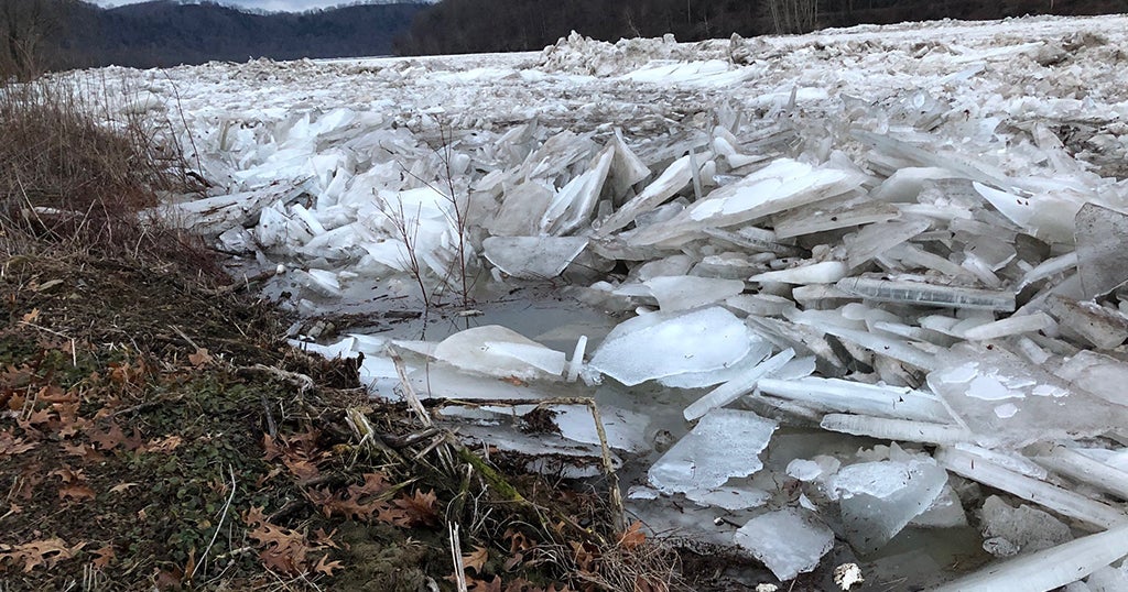
PITTSBURGH (KDKA) -- It's official. The first six days of March is the coldest start in nearly 40s years and the seventh coldest start ever for Pittsburgh.
While we will be warming up over the next couple of days, there will still be a chance for snow and rain around.
While not a great chance, there's actually a chance for a passing brief snow shower today. These will be brief, moderate to light bursts of snow that may be just enough to put a brief dusting of snow down on roadways. While not expected to be enough to cause problems, caution and being weather aware is advised.
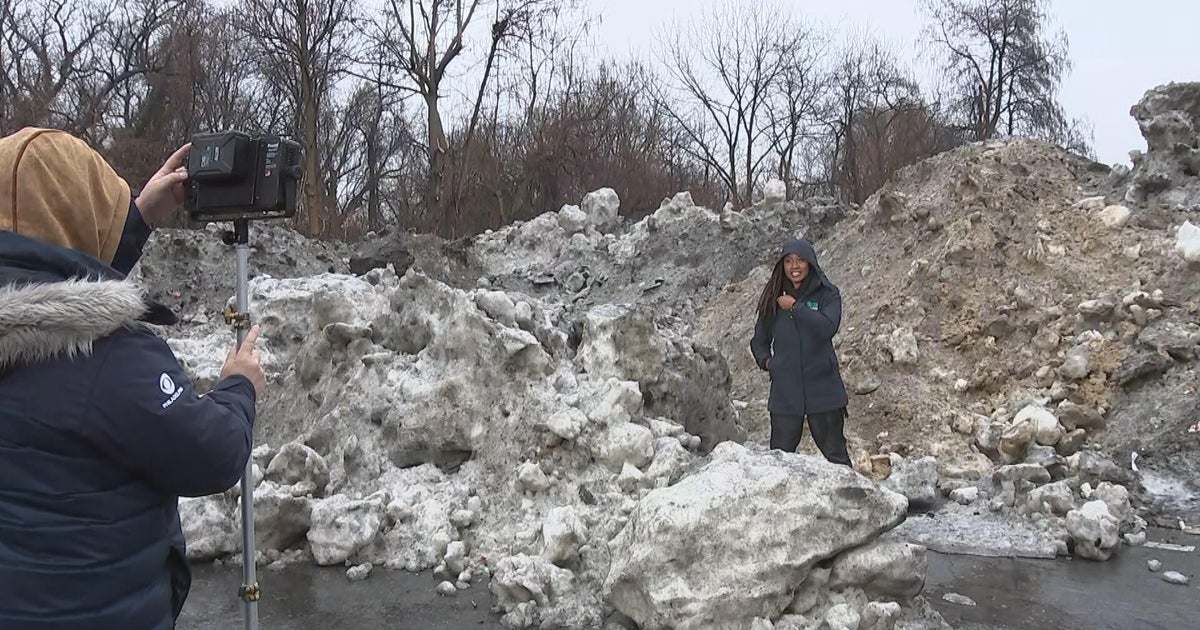
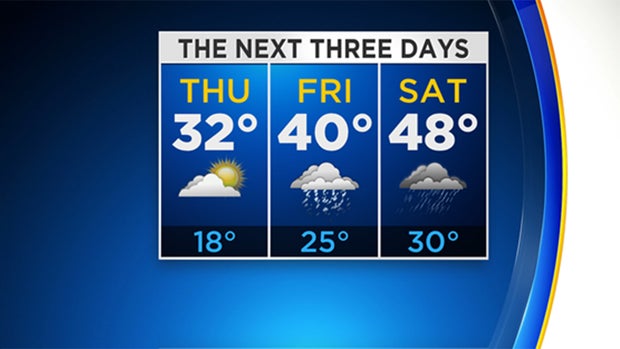
Highs this afternoon will be around 32 degrees. Hey, it's better than the 21 degrees we hit on Wednesday, right?
WEATHER LINKS:
Current Conditions | School Delays & Closings | Local Radar | Weather App | Photos
Friday's snow and rain chance comes in the way of wrap-around precipitation from a mid-level low that will move across southern Ohio into southern West Virginia. Every passing run has brought less and less snow our way.
KDKA Meteorologist Ron Smiley says there's a solid chance for snow with some accumulations of maybe an inch in the Laurel Highlands. Looking at new data, the chance for snow continues to go down.
We've now bumped up rain chances on Saturday and lowered the chance for Sunday rain due to the timing of a warm front and cold front over the weekend. The warm front will likely pass by late Saturday evening, with weak thunderstorms possible with the initial push of warmer air. This will occur after 6 p.m. on Saturday afternoon. Then, more rain showers will follow overnight just before the cold front pushes through. We should briefly see temperatures go up to near 60 degrees before thye fall for the remainder of Sunday.
Stay up to date with the KDKA app, which you can download here.